


RTK बेस स्टेशन माप के लिए Beitian BT-800S GNSS सर्वे एंटीना (GPS/BDS/GLONASS/Galileo)
RTK बेस स्टेशन माप के लिए Beitian BT-800S GNSS सर्वे एंटीना (GPS/BDS/GLONASS/Galileo)
Beitian
पिकअप उपलब्धता लोड नहीं की जा सकी


अवलोकन
Beitian BT-800S एक GNSS सर्वे एंटीना उत्पाद प्रकार है जिसे RTK बेस स्टेशन माप और बहु-नक्षत्र उपग्रह नेविगेशन रिसेप्शन के लिए डिज़ाइन किया गया है। यह सर्वेक्षण, मानचित्रण और अन्य सटीक स्थिति निर्धारण कार्यप्रवाहों के लिए GPS, BDS, GLONASS, GALILEO, SBAS, QZSS, IRNSS और L-बैंड सिग्नल का समर्थन करता है।
मुख्य विशेषताएँ
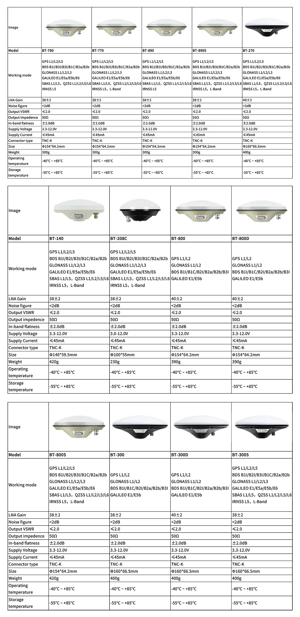
- मल्टी-सिस्टम, मल्टी-बैंड रिसेप्शन: GPS L1/L2/L5, BDS B1I/B2I/B3I/B1C/B2a/B2b, GLONASS L1/L2/L3, GALILEO E1/E5a/E5b/E6, SBAS L1/L5, QZSS L1/L2/L5/L6, IRNSS L5, L-बैंड
- दाहिनी ओर का वृत्ताकार ध्रुवीकरण
- 360° क्षैतिज कवरेज कोण
- TNC-K कनेक्टर इंटरफेस; 50Ω पोर्ट इम्पीडेंस
- UV-प्रतिरोधी PC सामग्री आवास (प्रदान की गई सामग्रियों में उल्लेखित)
- जलरोधक रबर रिंग और सीलेंट संरचना; जलरोधक रेटिंग IP67 तक के रूप में उल्लेखित
- माउंटिंग होल: 5/8"-11UNC (गहराई 19 के रूप में दिखायी गई; एक अन्य चित्र में गहराई 20 नोट की गई)
विशेषताएँ
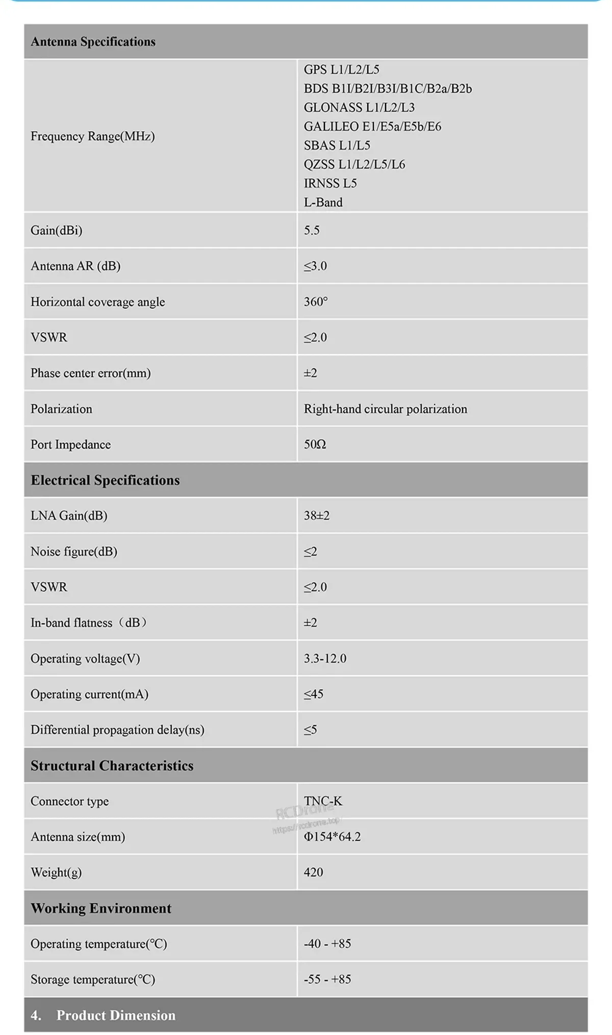
| मॉडल | BT-800S |
| कार्य मोड / समर्थित सिग्नल | GPS L1/L2/L5; BDS B1I/B2I/B3I/B1C/B2a/B2b; GLONASS L1/L2/L3; GALILEO E1/E5a/E5b/E6; SBAS L1/L5; QZSS L1/L2/L5/L6; IRNSS L5; L-बैंड |
| गेन (dBi) | 5.5 |
| एंटीना AR (dB) | ≤3.0 |
| क्षैतिज कवरेज कोण | 360° |
| VSWR | ≤2.0 |
| फेज सेंटर त्रुटि (मिमी) | ±2 |
| ध्रुवीकरण | दाहिनी हाथ की वृत्ताकार ध्रुवीकरण |
| पोर्ट इम्पीडेंस | 50Ω |
| LNA लाभ (dB) | 38±2 |
| शोर आंकड़ा (dB) | ≤2 |
| इन-बैंड समतलता (dB) | ±2 |
| ऑपरेटिंग वोल्टेज (V) | 3.3-12.0 |
| ऑपरेटिंग करंट (mA) | ≤45 |
| डिफरेंशियल प्रोपेगेशन डिले (ns) | ≤5 |
| कनेक्टर प्रकार | TNC-K |
| एंटीना आकार (मिमी) | Φ154*64.2 (ड्राइंग टॉलरेंस Φ154±0.5; 64.2±0.5) |
| वजन (ग्राम) | 420 |
| ऑपरेटिंग तापमान (°C) | -40 - +85 |
| स्टोरेज तापमान (°C) | -55 - +85 |
क्या शामिल है
- BT-800S एंटीना x1
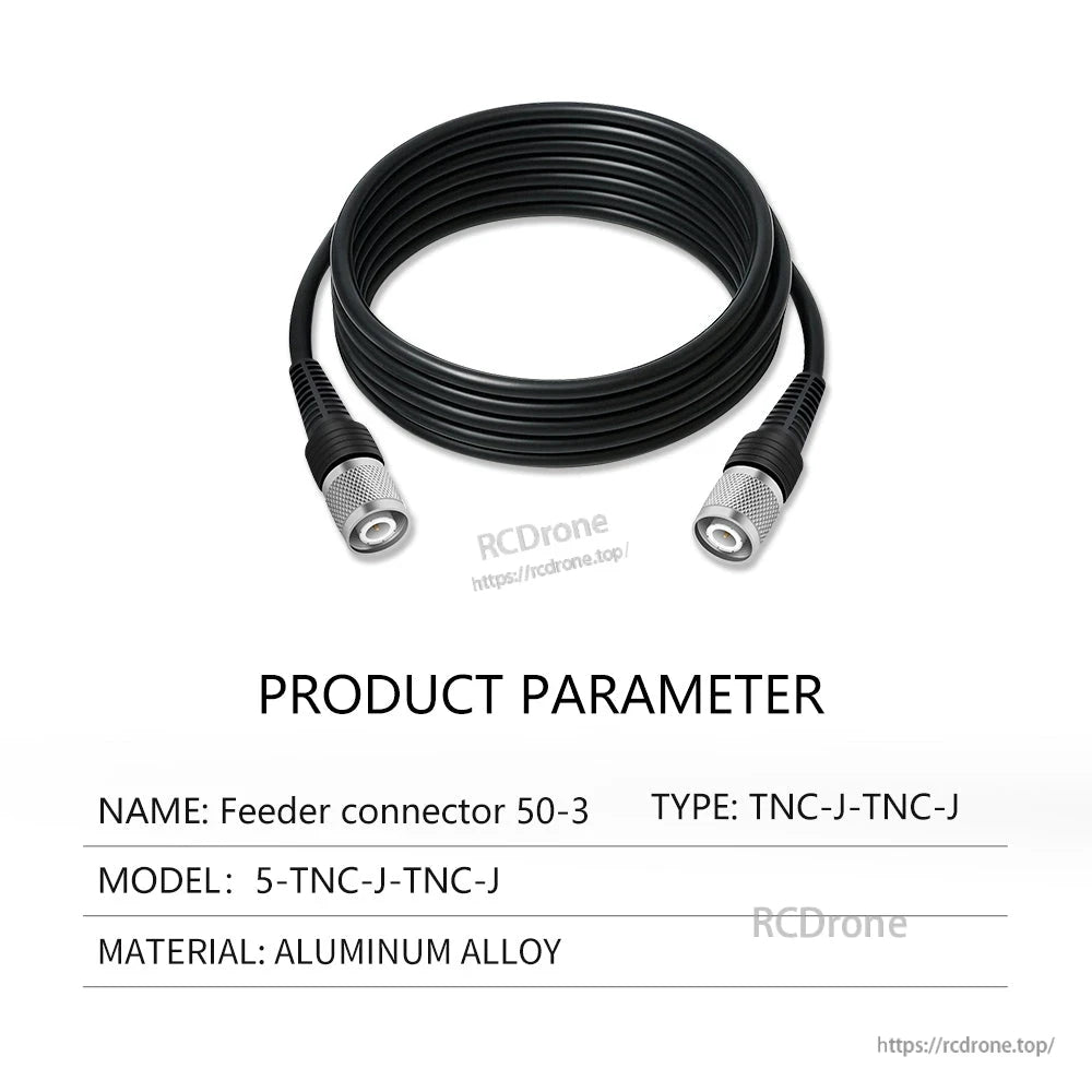
अन्य चयन योग्य कॉन्फ़िगरेशन जो उपलब्ध विकल्पों में दिखाए गए हैं, उनमें मैग्नेटिक/एल्यूमिनियम बेस और 3 मीटर या 5 मीटर के केबल असेंबली शामिल हो सकते हैं (e.g. , TNC-J से SMA-J, TNC-J से TNC-J)। पैकेज सामग्री चयनित विकल्प पर निर्भर करती है।
अनुप्रयोग
- भूगर्भीय सर्वेक्षण और मानचित्रण
- जलमार्ग मानचित्रण
- महासागर मानचित्रण
- सटीक कृषि
- आरटीके माप
- बिना चालक वाहन
- ड्राइविंग परीक्षण प्रणाली
उत्पाद चयन सहायता (एंटीना, बेस, या केबल विकल्प) और बिक्री के बाद समर्थन के लिए, संपर्क करें [email protected] or देखें https://rcdrone.top/.
विवरण
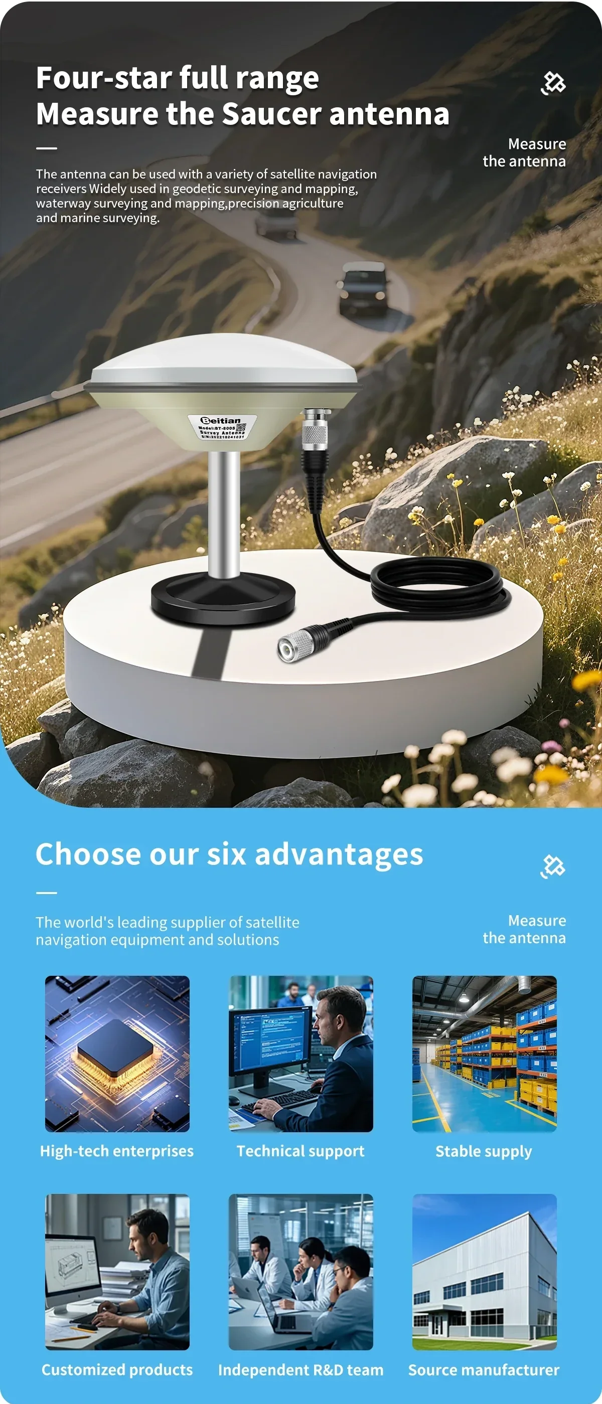
जब आपको आरटीके बेस स्टेशनों और बहु-नक्षत्र रिसेप्शन के लिए निर्मित सर्वेक्षण एंटीना की आवश्यकता हो, तो BT-800S चुनें।
विश्वसनीय क्षेत्र तैनाती के लिए डिज़ाइन किया गया, एंटीना एक मजबूत डोम आवास को एक मानक सर्वेक्षण माउंट इंटरफेस के साथ जोड़ता है।
मल्टी-बैंड समर्थन, स्थिर LNA लाभ, और एक विस्तृत संचालन वोल्टेज रेंज लगातार स्थिति प्रदर्शन बनाए रखने में मदद करती है।
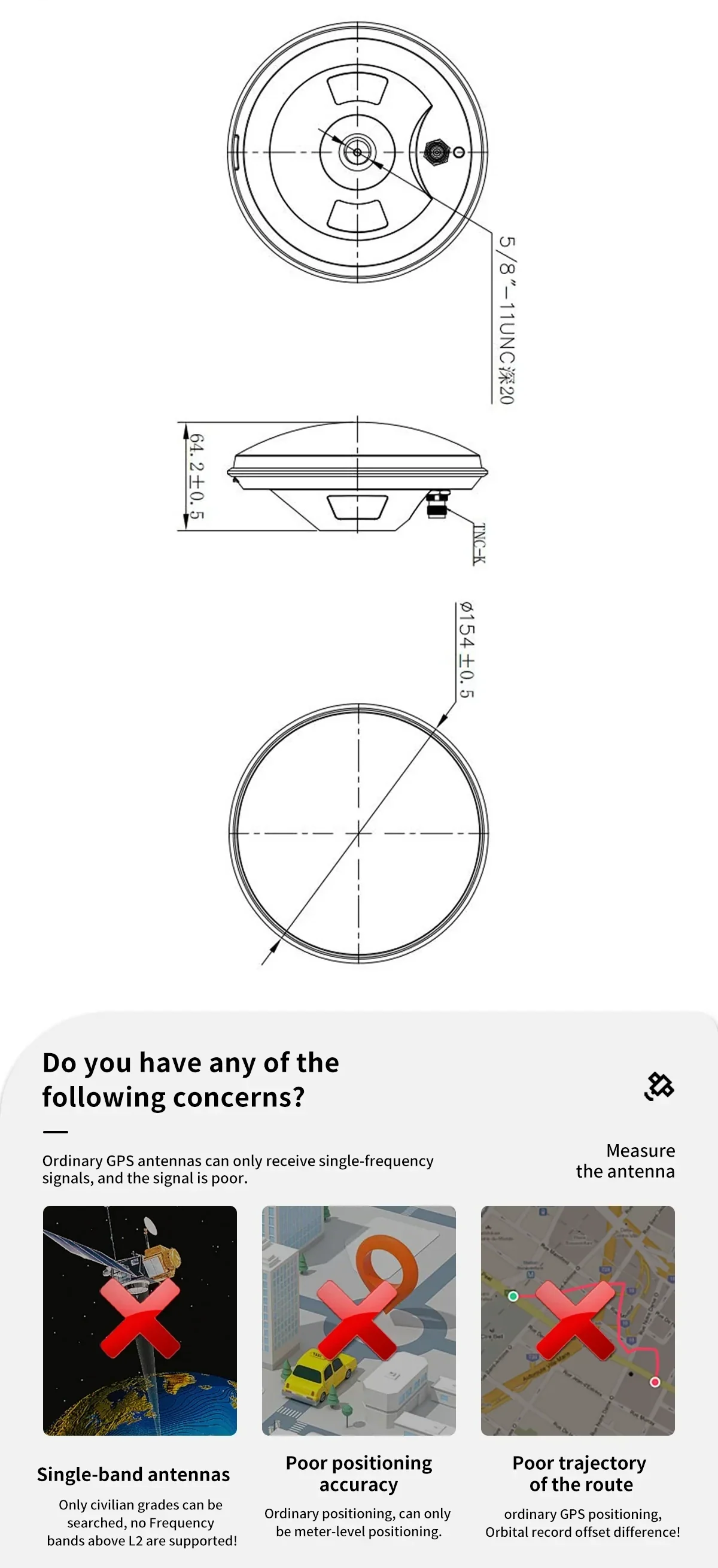
एक 5/8"-11 UNC थ्रेडेड माउंट और कॉम्पैक्ट प्रोफ़ाइल सामान्य सर्वेक्षण पोल और बेस पर स्थापना को सरल बनाती है।
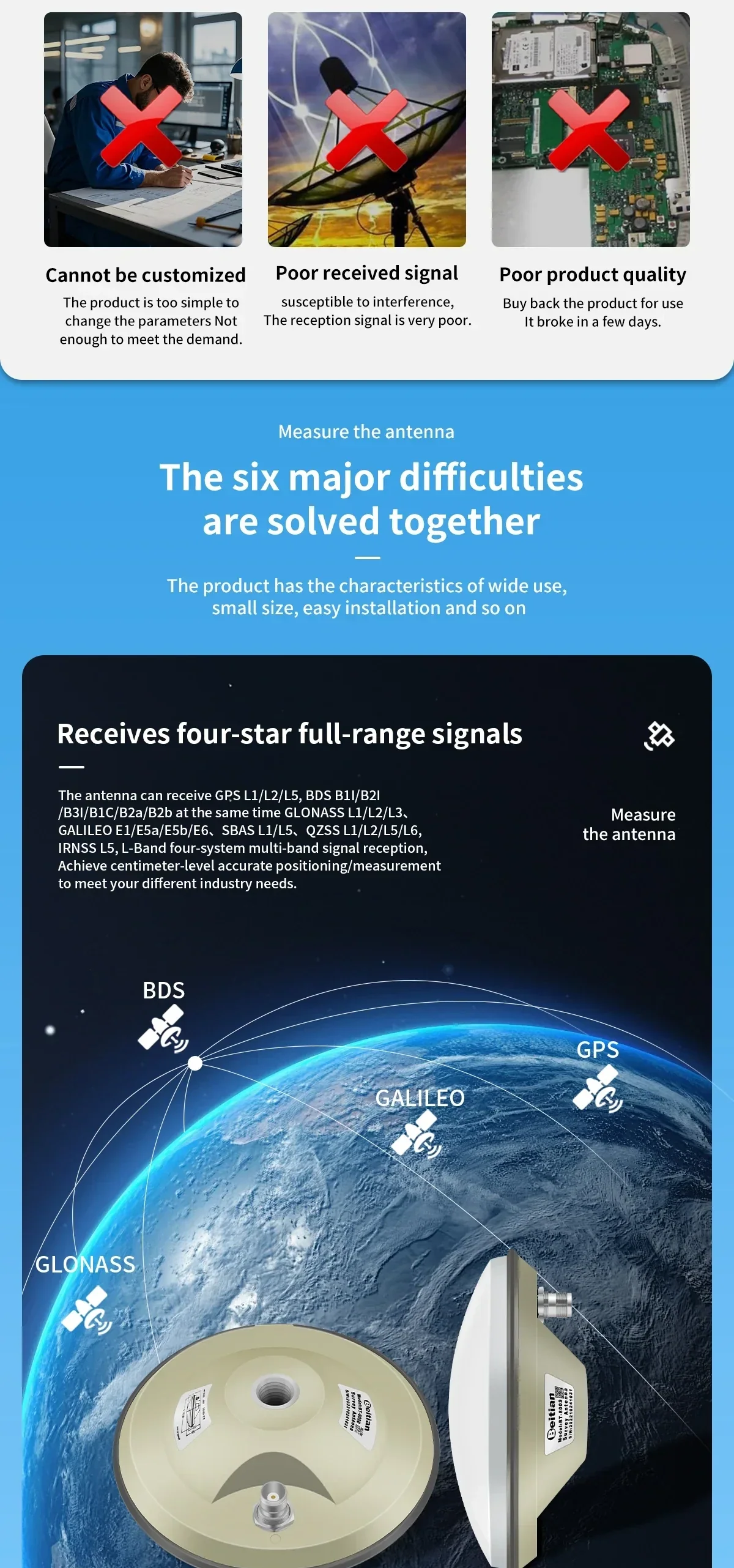
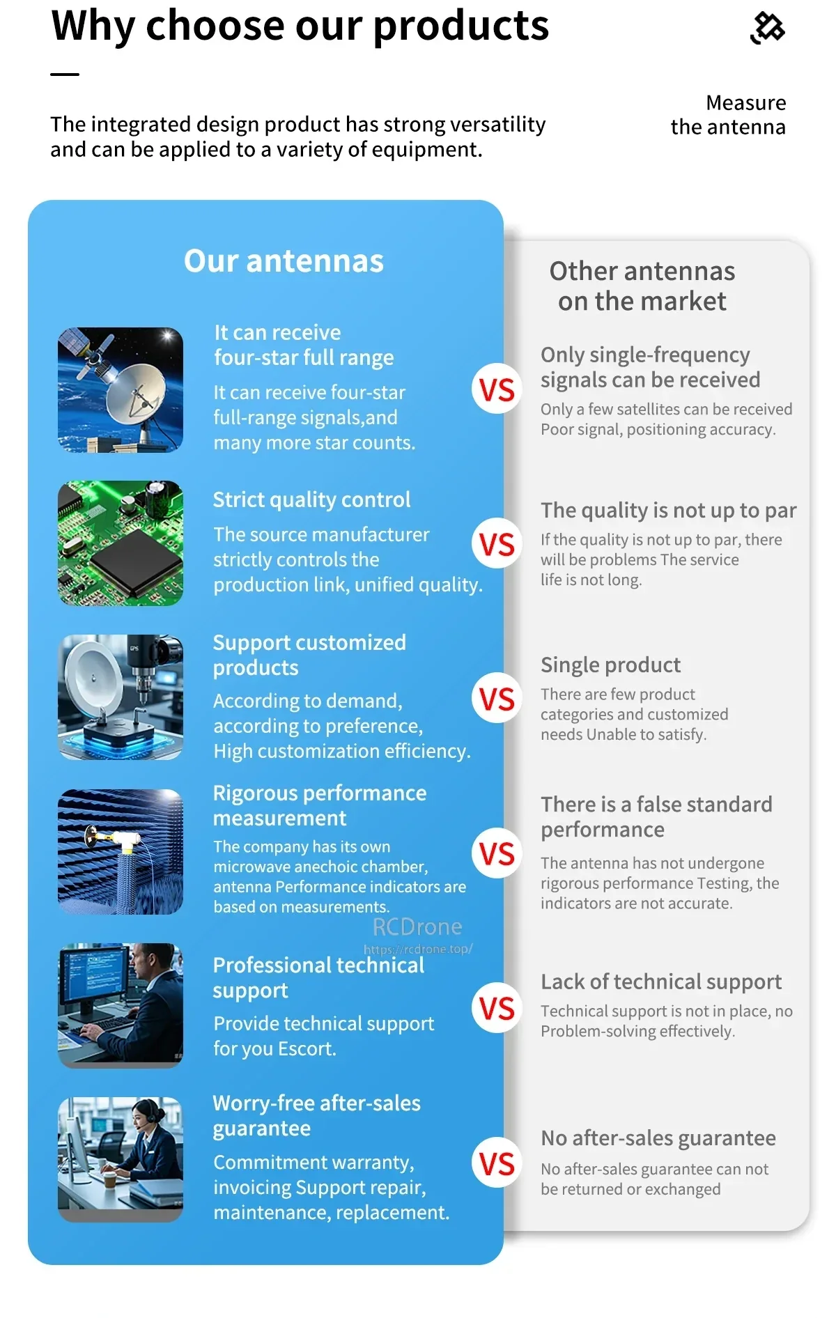
प्रमुख GNSS नक्षत्रों के बीच कवरेज सर्वेक्षण, मानचित्रण और RTK कार्यप्रवाह के लिए अधिक उपग्रहों को देखने में सहायता करता है।
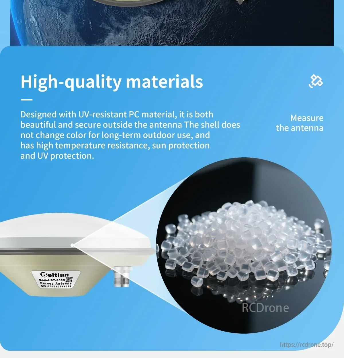
UV-प्रतिरोधी PC आवरण लंबे समय तक बाहरी उपयोग के लिए बनाया गया है जहाँ सूर्य और तापमान परिवर्तन कारक होते हैं।
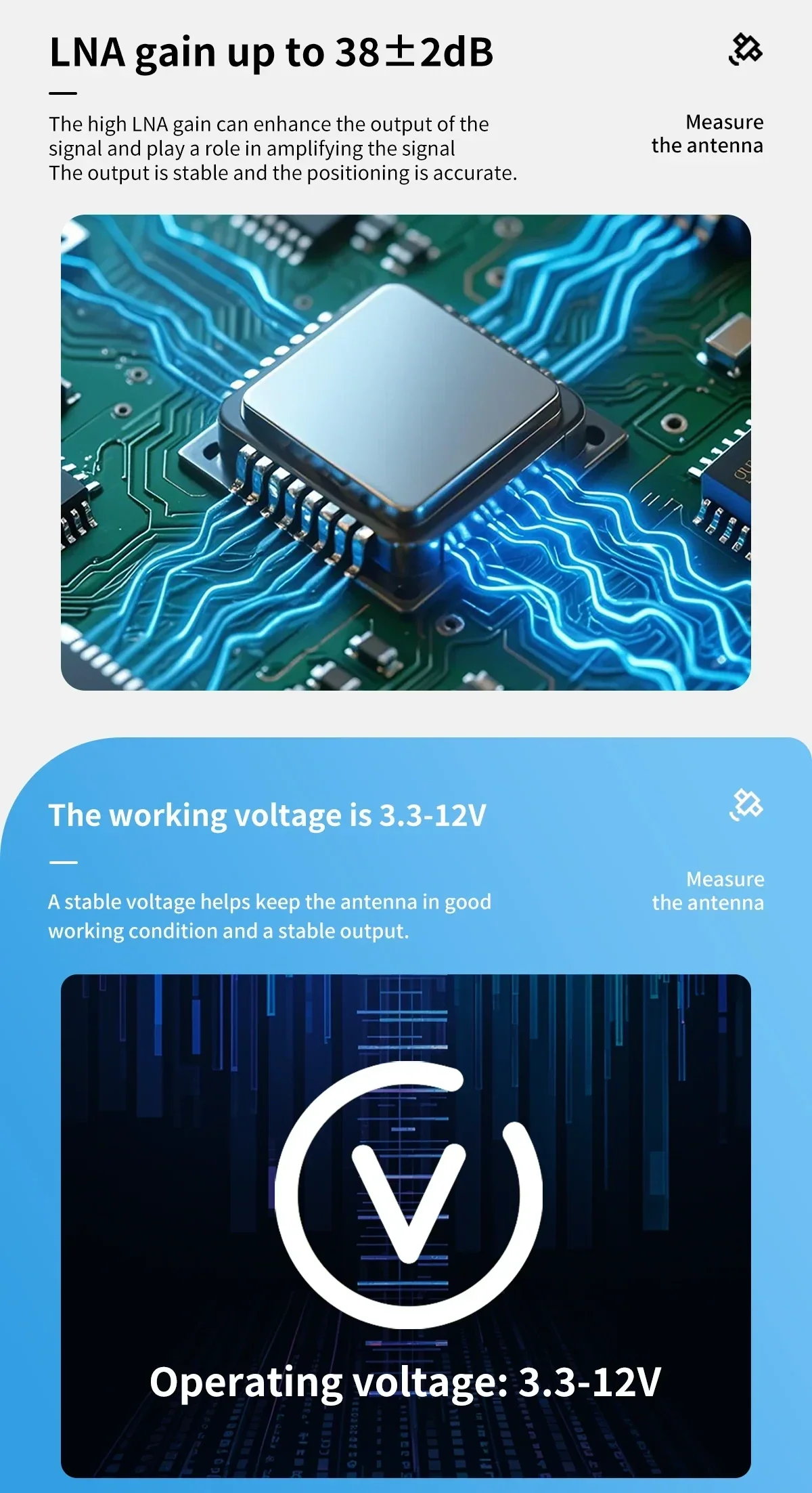
कम-शोर प्रवर्धन और लचीली शक्ति इनपुट विभिन्न क्षेत्र सेटअप में स्वच्छ सिग्नल रिसेप्शन का समर्थन करते हैं।
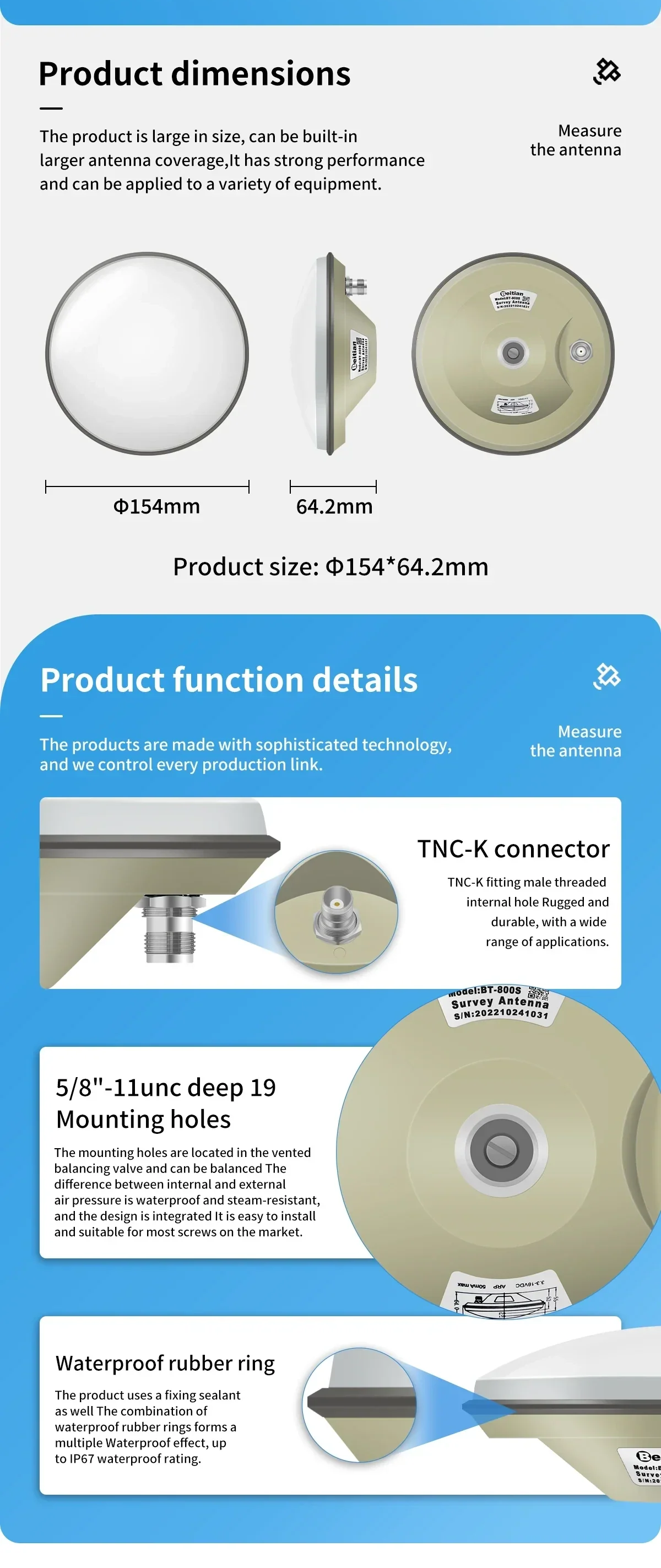
कनेक्टर और माउंटिंग विवरण सामान्य सर्वेक्षण हार्डवेयर के चारों ओर डिज़ाइन किए गए हैं, बाहरी स्थापना के लिए सीलिंग सुविधाओं के साथ।
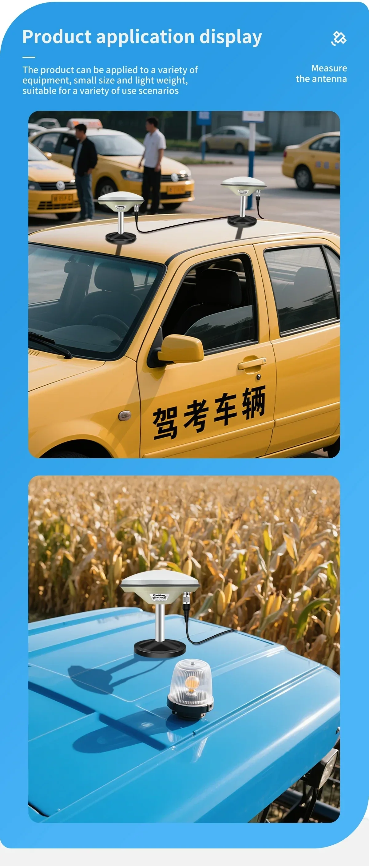
वाहन माउंटिंग उन अनुप्रयोगों का समर्थन करती है जैसे ड्राइविंग टेस्ट सिस्टम और मोबाइल डेटा संग्रह जहाँ निरंतर रिसेप्शन महत्वपूर्ण है।
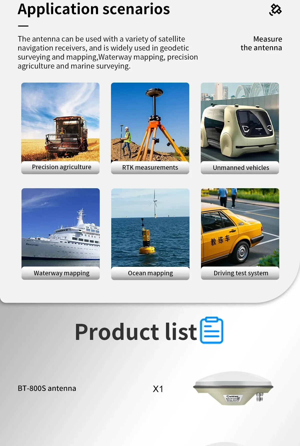
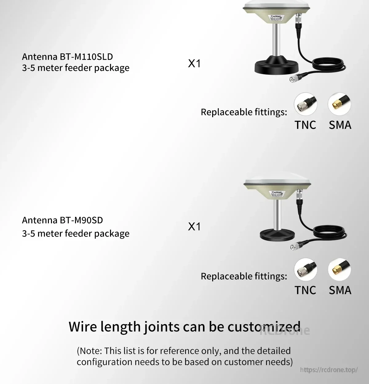
केबल की लंबाई और कनेक्टर संयोजन आपके रिसीवर इंटरफेस और स्थापना की दूरी के अनुसार चुने जा सकते हैं।