


Kihisi cha Ramani cha SLAMTEC Mapper M2M3 LiDAR na SLAM, Msaada wa ROS, WiFi/Ethernet, Umbali wa 40m
Kihisi cha Ramani cha SLAMTEC Mapper M2M3 LiDAR na SLAM, Msaada wa ROS, WiFi/Ethernet, Umbali wa 40m
Slamtec
Couldn't load pickup availability


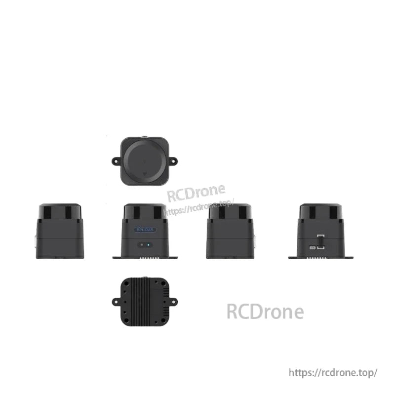
Muhtasari
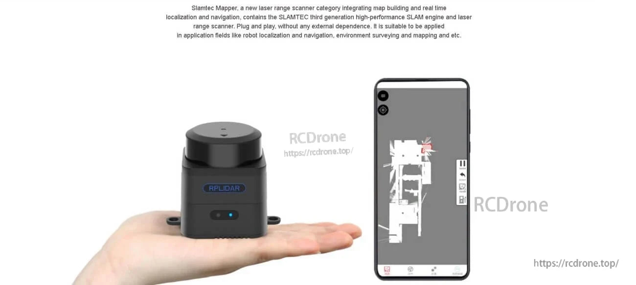
SLAMTEC Mapper M2M3 LiDAR ni sensor ya ramani ya laser iliyoundwa kwa ajili ya ujenzi wa ramani na uwekaji wa wakati halisi. Inajumuisha injini ya SLAM na skana ya anuwai ya laser, ikisaidia operesheni ya plug-and-play na nguvu ya USB na kutoa data ya ramani/uwekaji kwa ajili ya roboti na michakato ya upimaji.
Imepangwa pia kutumika kama skana ya anuwai ya laser, ikiwa na chaguzi za ujumuishaji wa SDK/ROS za kuleta data ya anuwai katika mfumo uliopo.
Vipengele Muhimu
- Uwezo wa kujenga ramani na uwekaji wa ndani (ujenzi wa ramani unaotegemea SLAM na uwekaji/kuongoza wakati halisi).
- Ramani kubwa, ya ubora wa juu na uboreshaji wa grafu ya SLAM na teknolojia ya ramani ya SharpEdge.
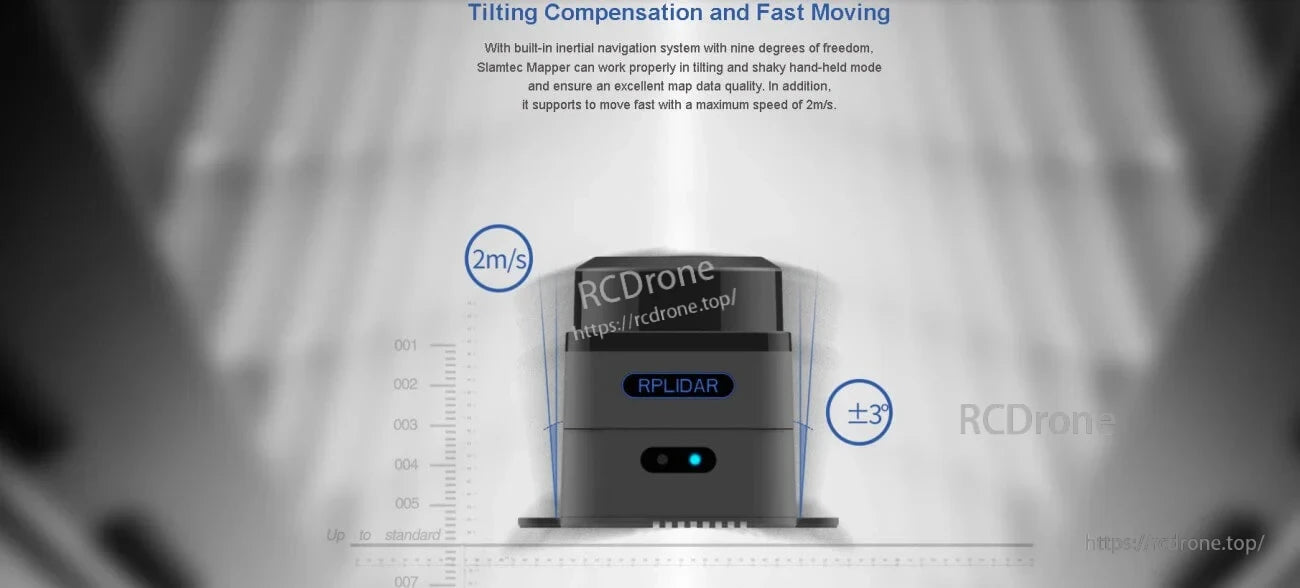
- Kurekebisha mwelekeo na harakati za haraka: mfumo wa ndani wa kuongoza wa inerti (nyuzi tisa za uhuru); inasaidia kasi ya juu ya harakati ya 2 m/s na pembe ya mwelekeo ±3°.
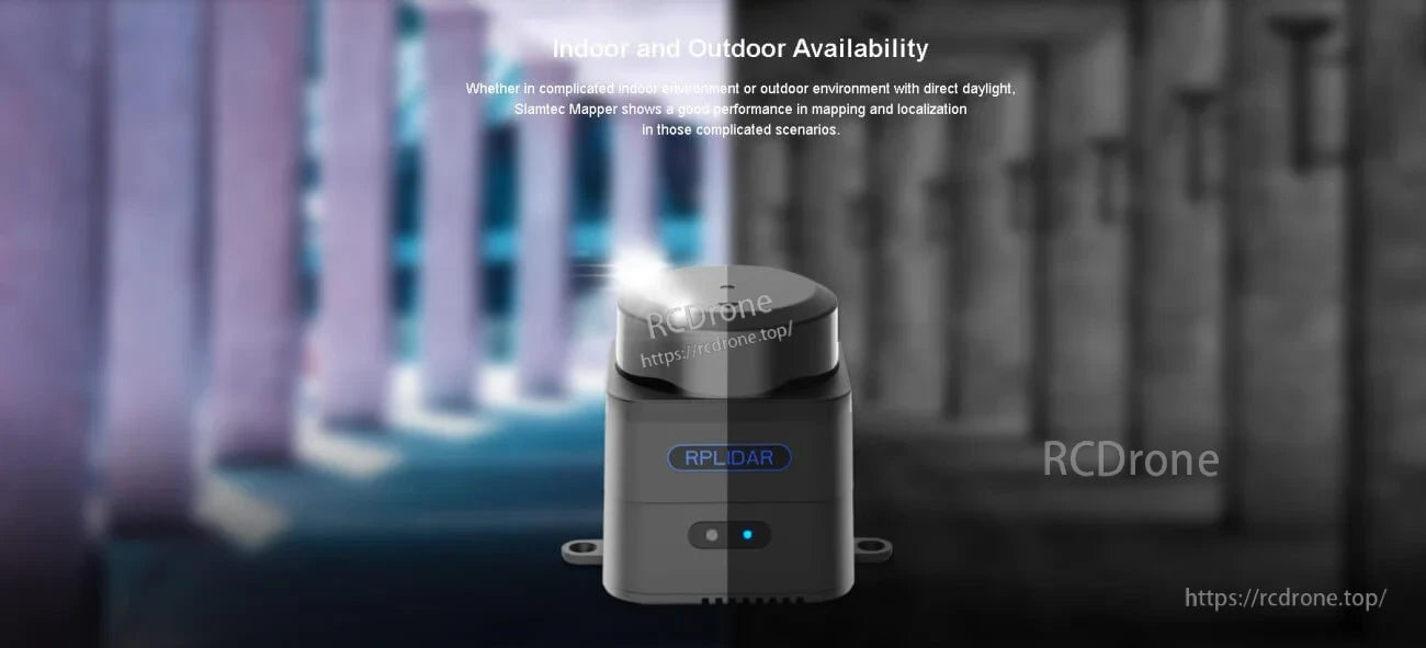
- Upatikanaji wa ndani na nje (ikiwemo mazingira ya nje yenye mwangaza wa moja kwa moja).
- Inapatana kikamilifu na ROS kwa uchambuzi wa data; SDK na zana za jukwaa tofauti kwa simu na PC; msaada wa dereva wa ROS na mtiririko wa RViz umeonyeshwa.
- WiFi iliyojengwa ndani (modes za pointi ya ufikiaji na kituo) na Ethernet ya 100M kwa mawasiliano; data za ramani/uwekaji halisi kwa kutumia programu ya simu.
- Ikoni za muundo wa kompakt zimeonyeshwa: ukubwa mdogo, nguvu ya chini, modes nyingi za kazi, mfumo wa SLAMTEC unaofaa.
Maelezo ya Kiufundi
| Mfano | SLAMTEC Mapper M2M3 |
| Umbali wa Kuingia | 40 m |
| Kiwango cha Sampuli | 10 kHz |
| Eneo la Juu | 300 m * 300 m |
| Azimio la Ramani | 0.05 m |
| Max Speed ya Kuenda | 2 m/s |
| Max Speed ya Kugeuza | TBD |
| Usahihi | < 0.02 m |
| Grafu ya Kuboresha Wakati wa Kazi | Takriban 1 hr |
| Angle ya Mwinuko wa Juu | ±3°< |
| Masafa ya Kurefresh Data | 10 Hz |
| Urefu wa Laser | 895-915 nm |
| Nguvu ya Laser | 25 W |
| Urefu wa Pulse | 5 ns |
| Daraja la Usalama wa Laser | IEC-60825 Daraja 1 |
| Voltage ya Nguvu (meza ya specs) | 4.95-5.3 V |
| Ingizo la Nguvu (lebo iliyoonyeshwa) | 5-12 V DC |
| Mtetemo wa Voltage ya Nguvu | 50 mV |
| Upeo wa Mzunguko wa Mfumo | 1200 mA |
| Mzunguko wa Nguvu | 650 mA |
| Uzito | 163 g |
| Kiwango cha Joto la Kazi | -5 hadi 45 C |
Matumizi
- Ujumuishaji wa roboti na urambazaji
- Kuchunguza na ramani za mazingira
- Kuchora kwa mkono na upya-ujumuishaji katika hali ngumu
Kwa msaada wa ujumuishaji na usanidi (SDK/ROS, mtandao, nguvu), wasiliana na [email protected] or tembelea https://rcdrone.top/.
Maelezo
Maelezo
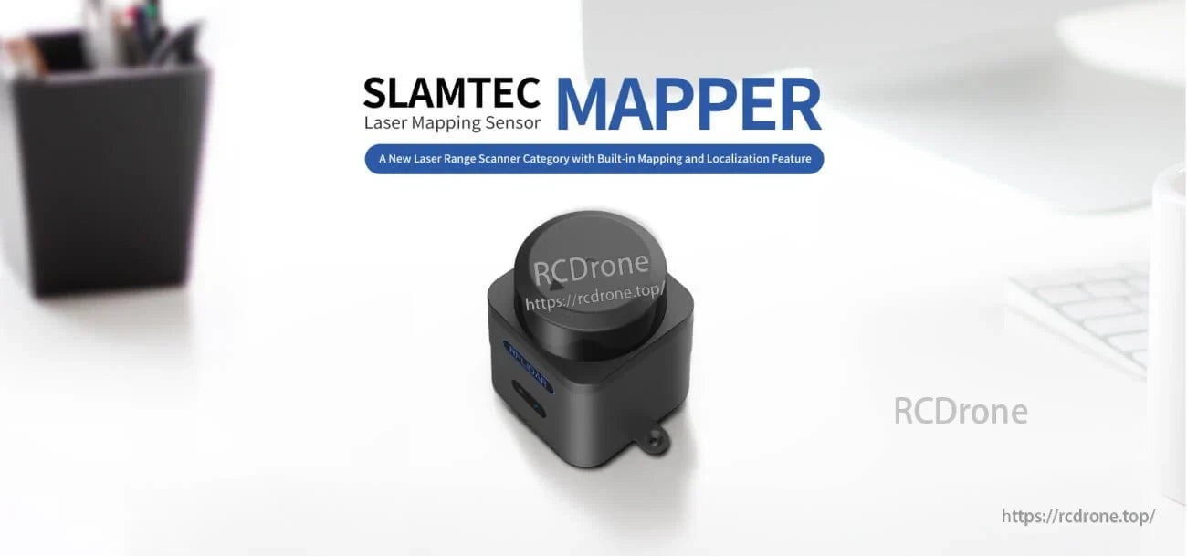
SLAMTEC Mapper M2M3 inachanganya skana ya masafa ya laser na injini ya SLAM iliyojengwa ndani kwa ajili ya ramani na uwekaji katika sensor moja ndogo.
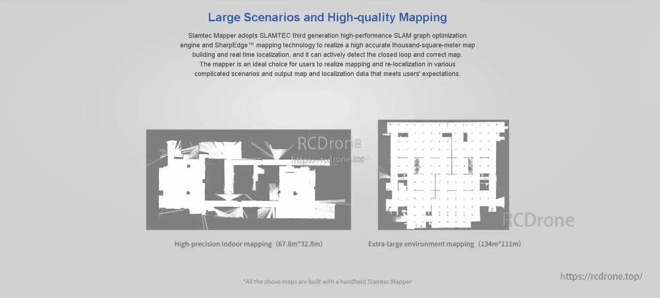
Uboreshaji wa grafu ya SLAM na ramani za SharpEdge zinasaidia matokeo ya hali ya juu katika mazingira makubwa, ndani au nje.
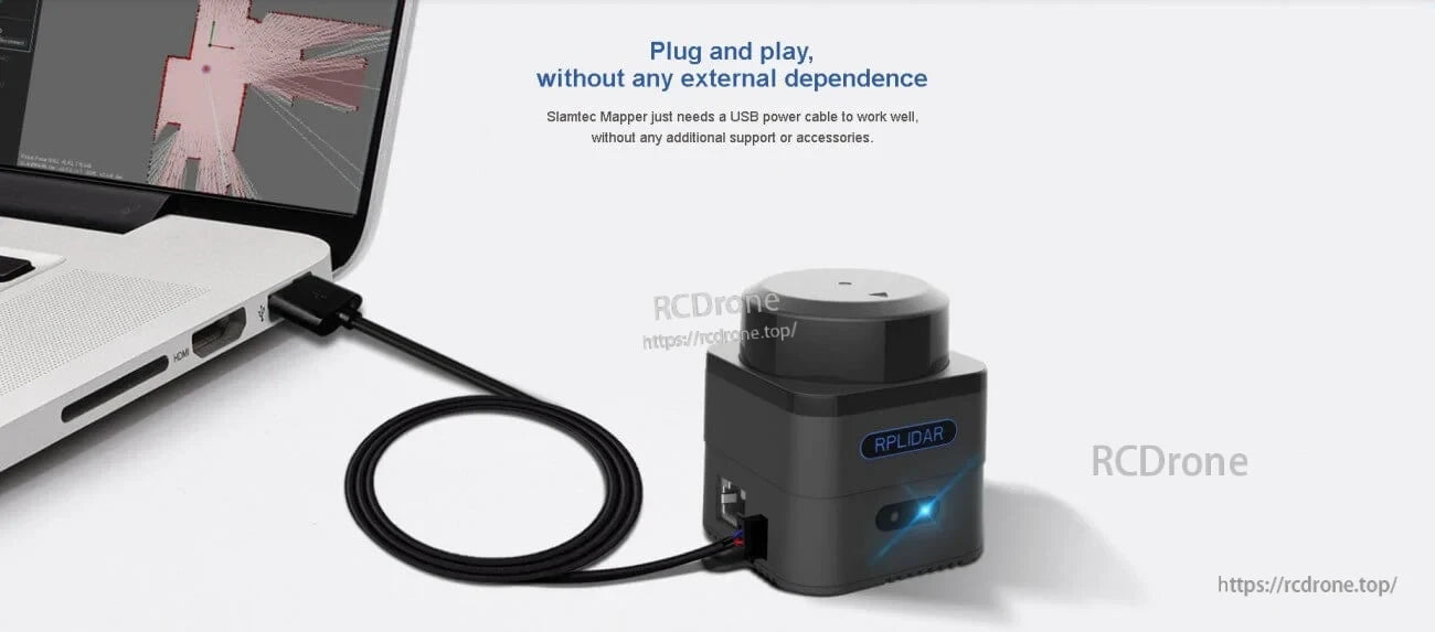
USB ya kuunganisha na kucheza inasaidia kuongeza kasi ya upimaji wa benchi, uundaji wa mfano, na kuanzisha haraka katika mchakato wa roboti.
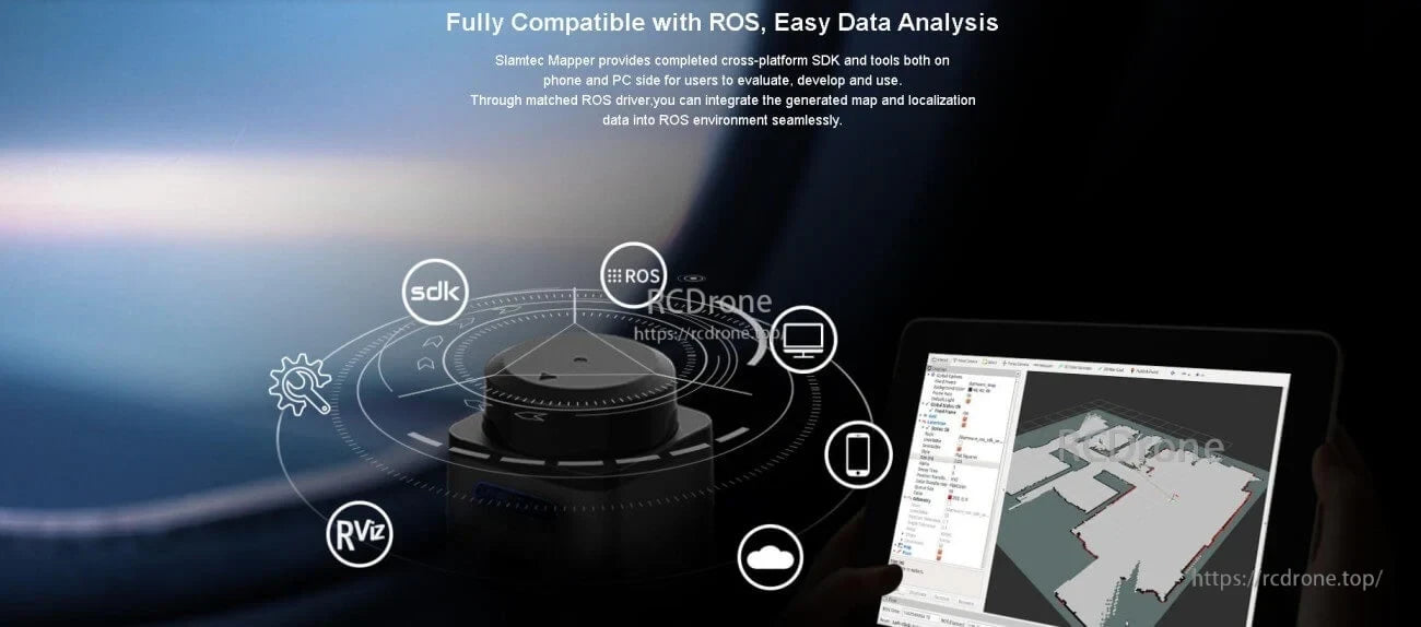
Usaidizi wa dereva wa ROS na zana za SDK za jukwaa tofauti hufanya iwe rahisi kuhamasisha data ya masafa na kuonyesha ramani katika RViz.
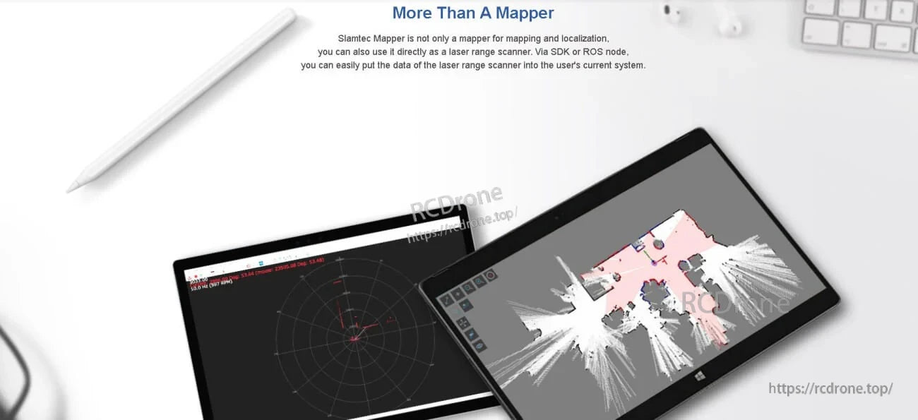
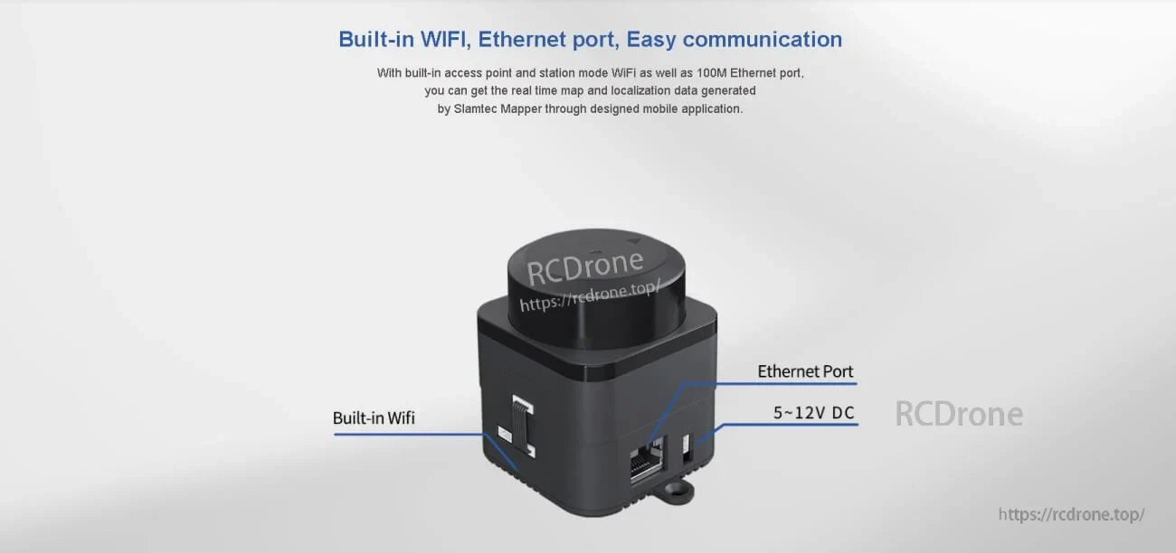
Chaguzi nyingi za kuunganishwa—Wi‑Fi na Ethernet ya 100M—zinasaidia uunganisho wa kubadilika na upatikanaji wa data kwa wakati halisi.
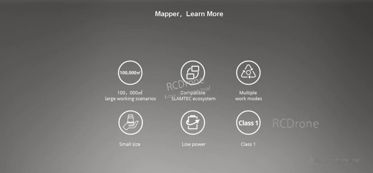
Muundo mdogo wa nguvu ya chini unasaidia njia nyingi za kazi na unafaa vizuri katika mfumo wa SLAMTEC.