-
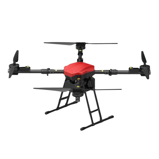
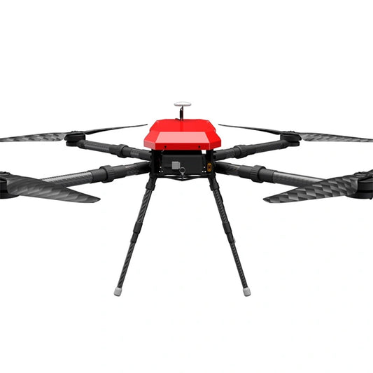
ARRIS M1400 Industrial Drone - 4 Axis Payload 22KG 15KM Long Rang Quadcopter with Hobbwing X9 PLUS Power System for Resuce Mapping Inspection
Regular price From $1,099.00 USDRegular priceUnit price per -

D1200 Drone - 10KG Payload 60 Minutes 10KM Distance Industrial Drone for Inspection and Mapping
Regular price $9,999.00 USDRegular priceUnit price per -
D900 Industrial Drone - 5KG Payload 10KM Range 5KM Altitude Multi Pod Flight Platform for Inspection, Mapping, Survey
Regular price $9,999.00 USDRegular priceUnit price per -
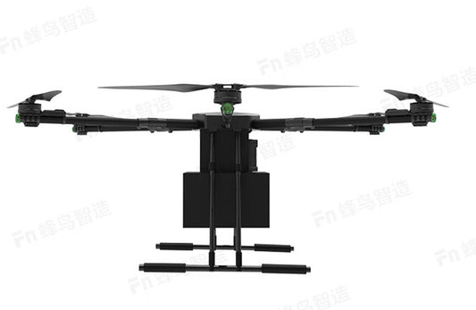
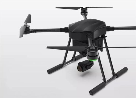
RCDrone R630 Delivery Drone - 30KG Payload GPS RTK Cargo Drone For Rescue, Surveying and Mapping Support Customization Industrial Drone
Regular price From $600.00 USDRegular priceUnit price per -
T-Motor T-Drone M1200 Industrial Drone - 4 Axis 10KM 5kg Payload 60 Minutes Long Flight Time Long Range UAV Drone Frame for Mapping, Searching, Monitoring, Surveying, Rescue Service
Regular price $3,599.00 USDRegular priceUnit price per -
T-Motor T-Drone M1500 Industrial Drone - 6 Axis 10KM 5-10KG Payload 55 Minutes Long Flight Time Long Range UAV Drone Frame Hexa-Copter for Rescue, Mapping, Electricity Inspection,
Regular price $5,499.00 USDRegular priceUnit price per -
ARRIS EP100 Industrial Drone - 4 Axis Payload 5KG 1000mm Multirotor Platform for Aerial Photography Mapping Inspection
Regular price $799.00 USDRegular priceUnit price per -
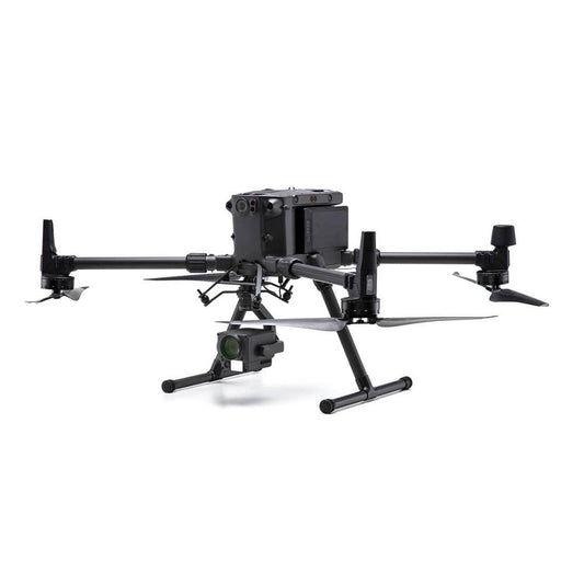
DJI M300 RTK Industrial Drone 15KM Long Range Transmission 55min Flight Time Inspection Mapping Search Rescue Firefight Matrice
Regular price $41,999.00 USDRegular priceUnit price per