


SLAMTEC Aurora Sensor de Mapeo y Localización LiDAR, USB-C + Ethernet + WiFi, Alcance 40m@70%, 505g
SLAMTEC Aurora Sensor de Mapeo y Localización LiDAR, USB-C + Ethernet + WiFi, Alcance 40m@70%, 505g
Slamtec
No se pudo cargar la disponibilidad de retiro


Resumen
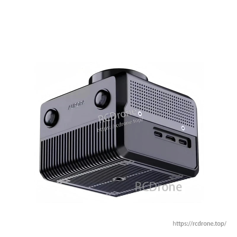
SLAMTEC Aurora LiDAR es una solución de mapeo y localización que integra LiDAR, visión binocular, un IMU y aprendizaje profundo para posicionamiento y mapeo en interiores y exteriores.
Aurora está diseñada para funcionar de manera independiente: simplemente enciéndala para operar, sin dependencias externas requeridas.
Características clave
- Sensado y computación integrados: LiDAR 2D, visión binocular, IMU 6DOF y un procesador de IA en un módulo compacto
- Capacidad de localización omnidireccional 3D 6DOF
- Precisión de resolución a nivel milimétrico, precisión de localización a nivel centimétrico
- Gran área de mapeo: >1,000,000 m^2
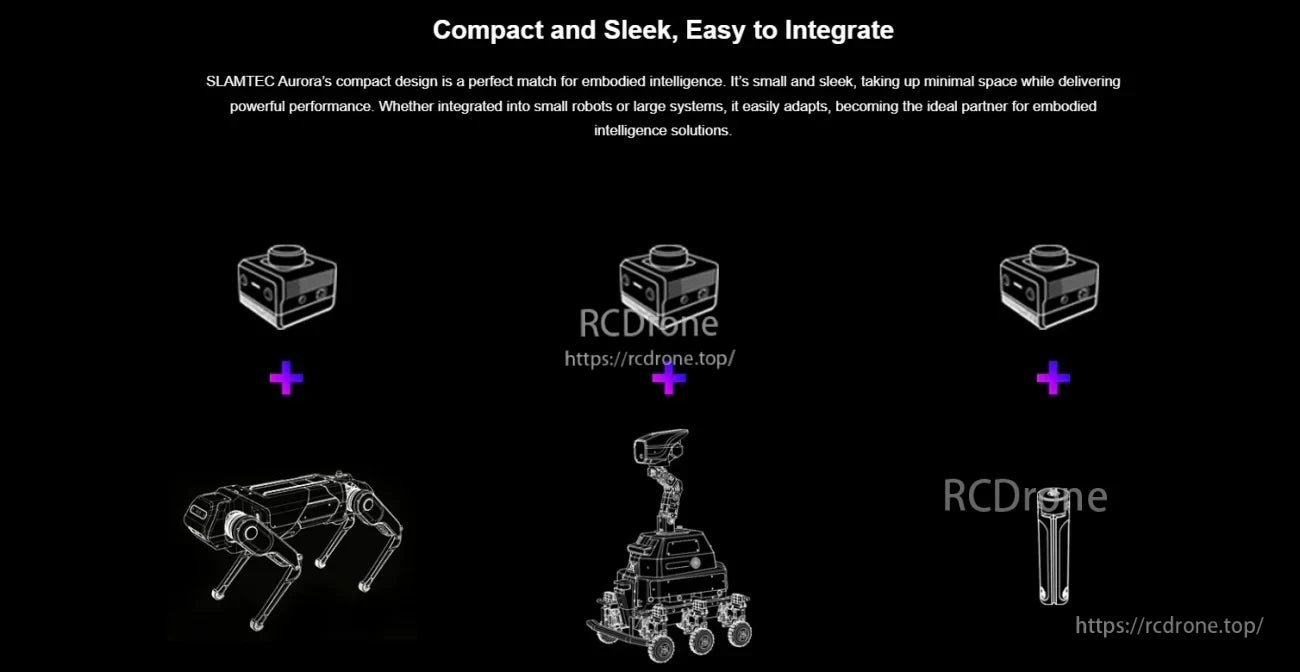
- Tamaño compacto: del tamaño de la palma, clase de peso de 500g (peso listado: 505g)
- Interfaces externas mostradas: Ethernet 1000M, WiFi, USB Tipo C
- Expansión externa mostrada: BeiDou/GPS/RTK; soporta expansión externa (GPS/RTK, odometría, etc.)
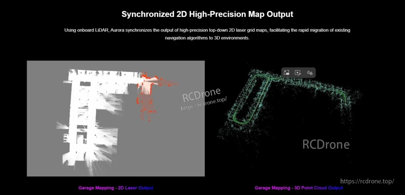
- Salida del mapa mostrada: mapas de rejilla láser 2D sincronizados y salida de nube de puntos 3D
Para preguntas de integración o soporte de pedidos, contacta [email protected] or visita https://rcdrone.top/.
Especificaciones
| Entrada de energía | DC12V-2A (DC5.5x2.1mm) |
| Potencia | 10W (típico) |
| Interfaz de datos | 1 x USB-C (sin entrega de energía); 1 x Ethernet (RJ45) |
| Conexión inalámbrica | WIFI |
| Peso | 505g |
| Temperatura de trabajo | 0°C a 40°C |
| Resolución del mapa 2D | 2cm/5cm/10cm ajustable |
| Área máxima de mapeo | >1,000,000 m^2 |
| Reubicación | Soporte para reubicación global |
| Continuación del mapa | Soporte |
| Carga y guardado del mapa | Soporte |
| Modo de localización del mapa | Navegación láser + visión + inercial fusión de múltiples fuentes |
| Mecanismo de sincronización de múltiples sensores | Sincronización de tiempo de hardware |
| Medición de distancia LiDAR | Rango máximo 40m@70% de reflectividad |
| Especificaciones de la cámara | Cámara global de ojo de pez binocular, soporta HDR, FOV 180 grados, línea base de 6 cm |
| Tasa de fotogramas de la cámara | Típico 10Hz, 15/30Hz se puede personalizar |
| Ángulo de inclinación máximo | Sin requisitos (para asegurar el efecto de dibujo 2D, se recomienda que el ángulo de inclinación no exceda 30 grados) |
Aplicaciones
- Robots humanoides
- Brazos robóticos
- Exoesqueletos
- Robots cuadrúpedos
- Vehículos AGV
- Robots ARU
Manuales
- Hoja de datos de LiDAR SLAMTEC Aurora (PDF)
- Manual del usuario de LiDAR SLAMTEC Aurora (PDF)
- Diagrama de Estructura del Producto SLAMTEC Aurora LiDAR (PDF)
- Modelo 3D SLAMTEC Aurora LiDAR (STP, ZIP)
- Dibujo de Instalación (PDF)
Videos
Detalles
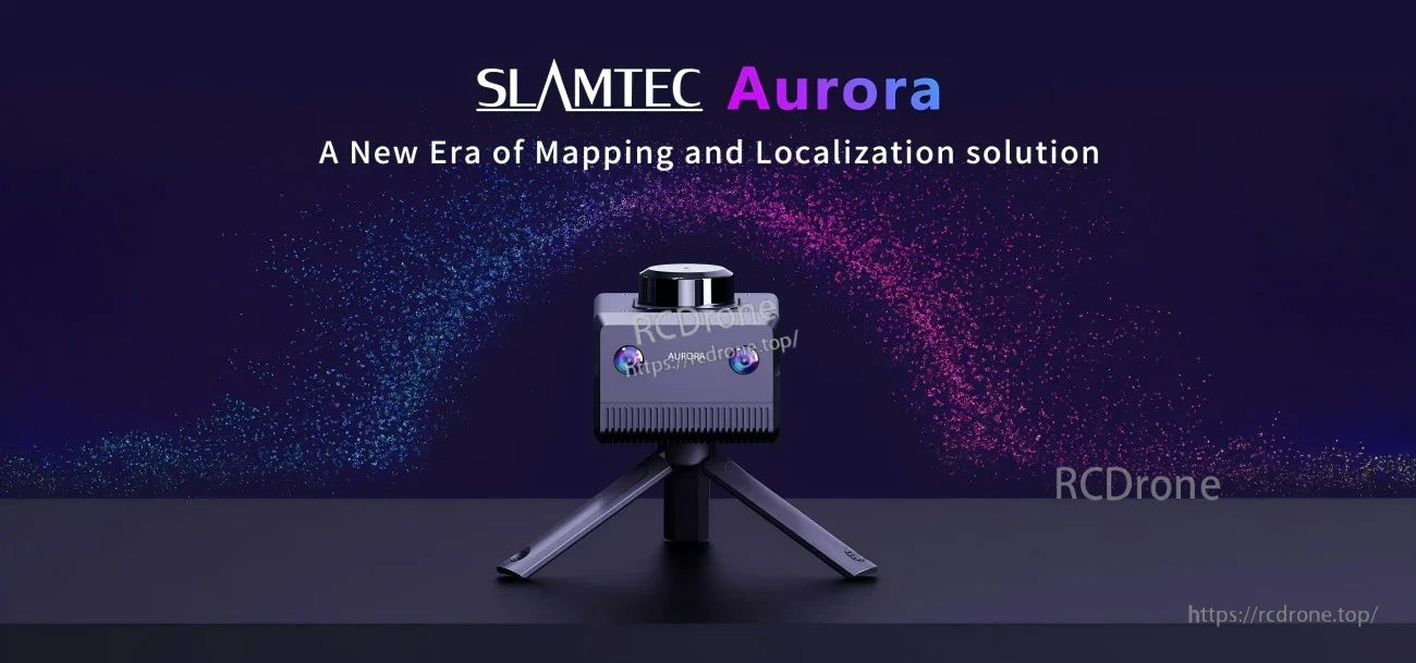
Aurora combina LiDAR, visión binocular, IMU y computación a bordo para ofrecer mapeo y localización 6DOF en un módulo compacto.
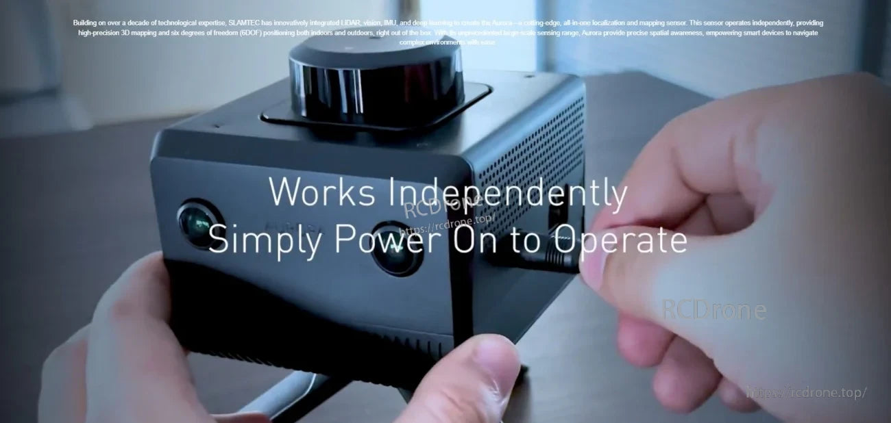
Encienda y comience a mapear sin depender de una computadora externa, luego conéctese a través de USB‑C, Ethernet o WiFi para datos y control.
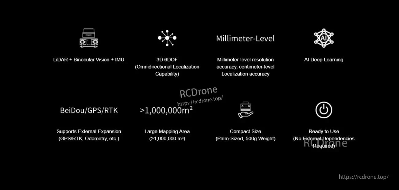
La fusión de múltiples sensores permite una resolución de mapa a nivel de milímetros y una precisión de localización a nivel de centímetros para mapeo a gran escala.
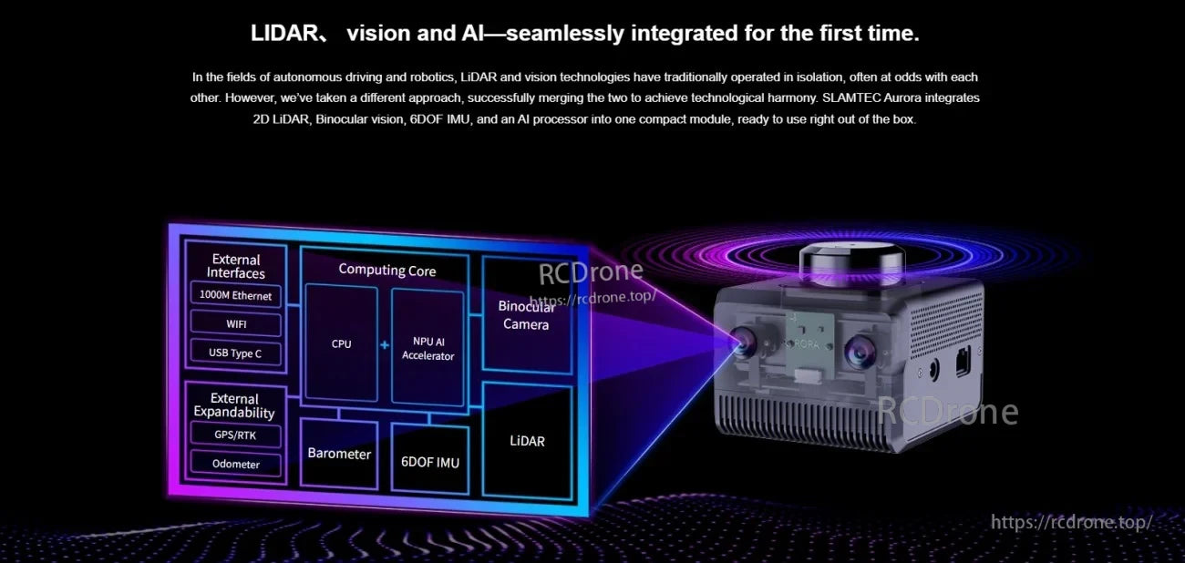
La detección y computación integradas reducen el esfuerzo de integración mientras aún admiten entradas de expansión como GPS/RTK y odometría.

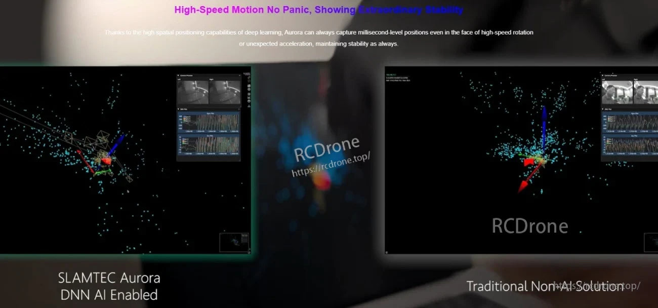
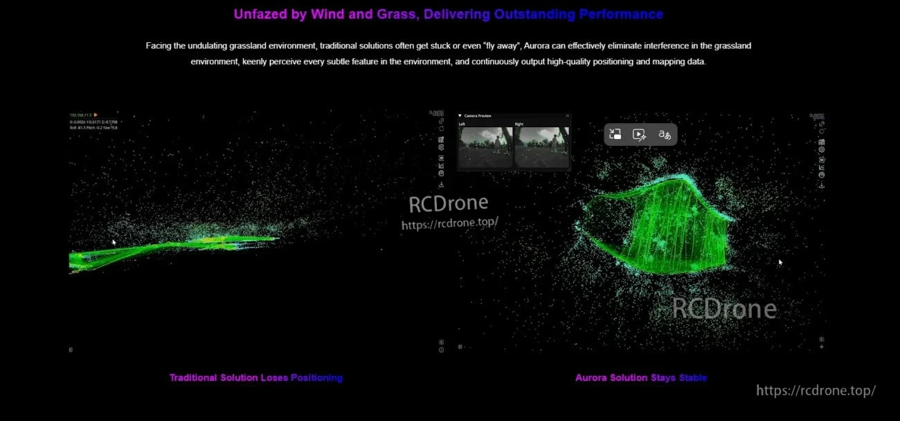
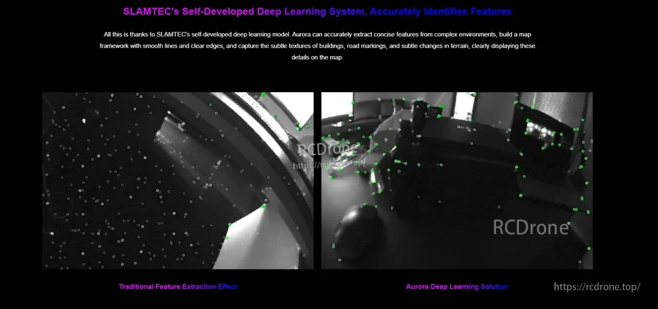
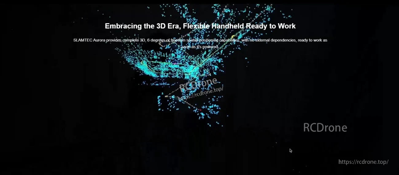
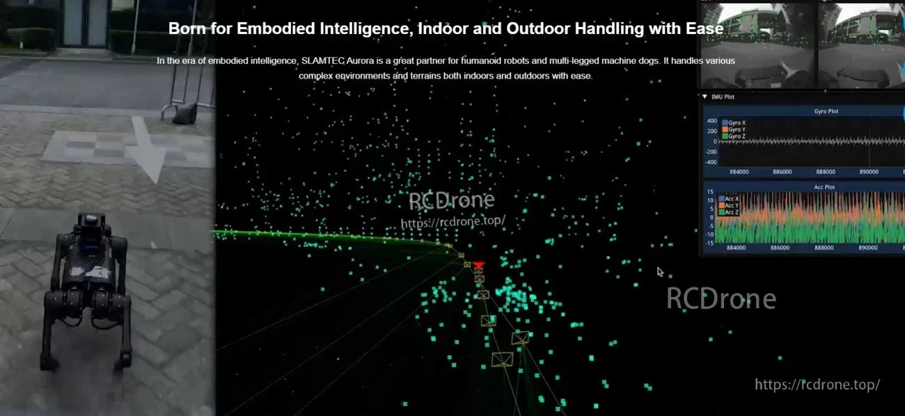
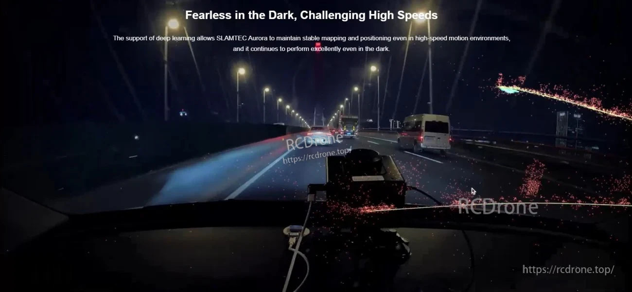
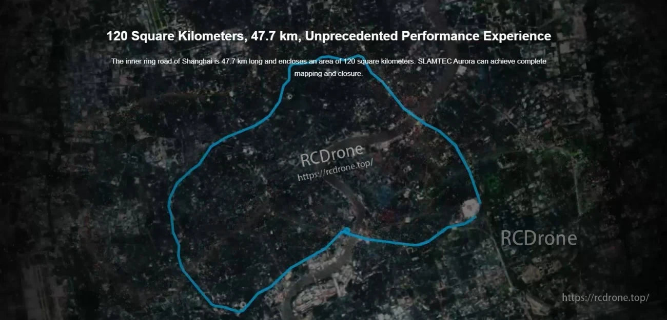
Para recorridos largos y sitios grandes, Aurora admite el mapeo de áreas de más de 1,000,000 m² con guardado y continuación de mapas.
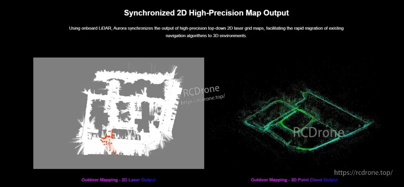
Aurora puede generar mapas de rejilla láser 2D sincronizados y nubes de puntos 3D para apoyar tanto la navegación clásica como la percepción 3D.
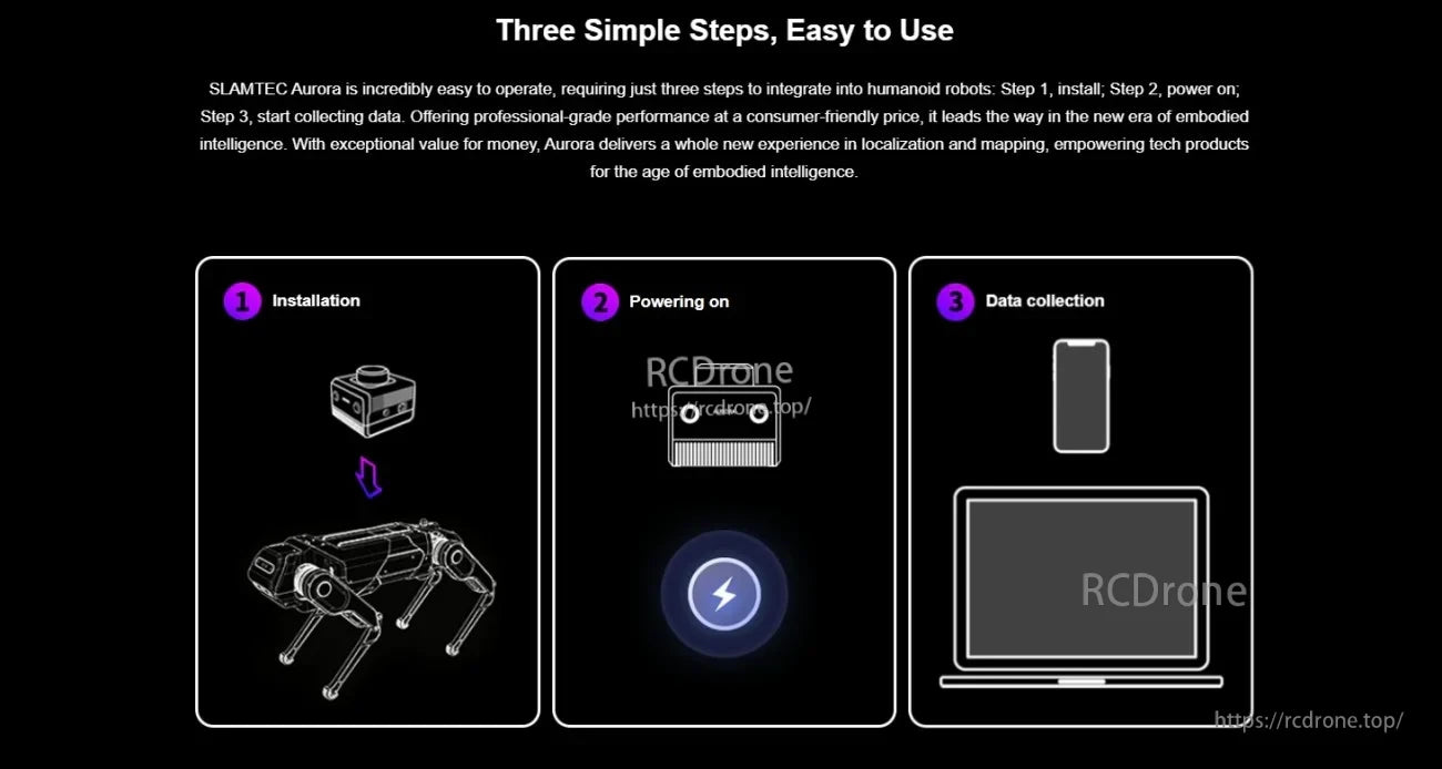
La configuración sigue un flujo simple: monta el sensor, suministra energía DC y recopila datos para el modo de mapeo o localización.
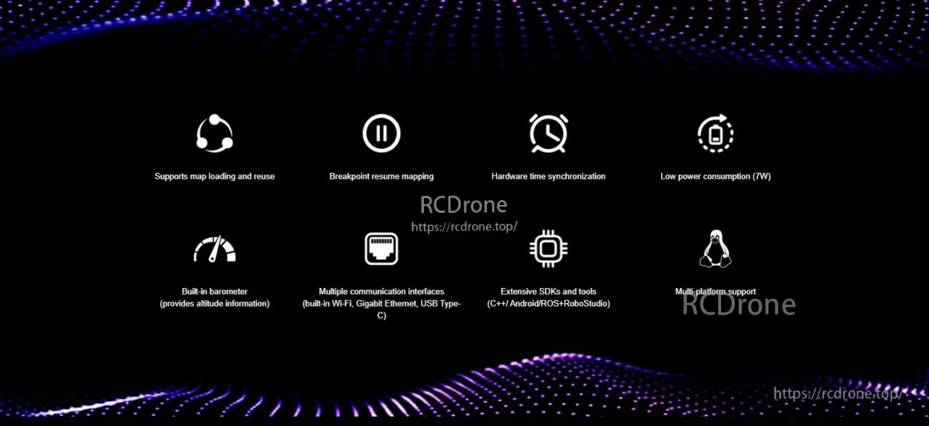
Las herramientas de sincronización de tiempo de hardware y gestión de mapas ayudan a mantener los datos alineados entre sensores y sesiones.
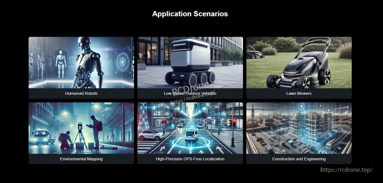
Diseñado para proyectos de robótica y autonomía, incluyendo AGVs, cuadrúpedos, humanoides y localización interior/exterior sin GPS.