


Capteur Flash LiDAR Yunshis XT-M60, 60 lignes, état solide, 0,3–15 m, FOV 120°×45°, IP65
Capteur Flash LiDAR Yunshis XT-M60, 60 lignes, état solide, 0,3–15 m, FOV 120°×45°, IP65
Yunshis
Impossible de charger la disponibilité du service de retrait


Aperçu
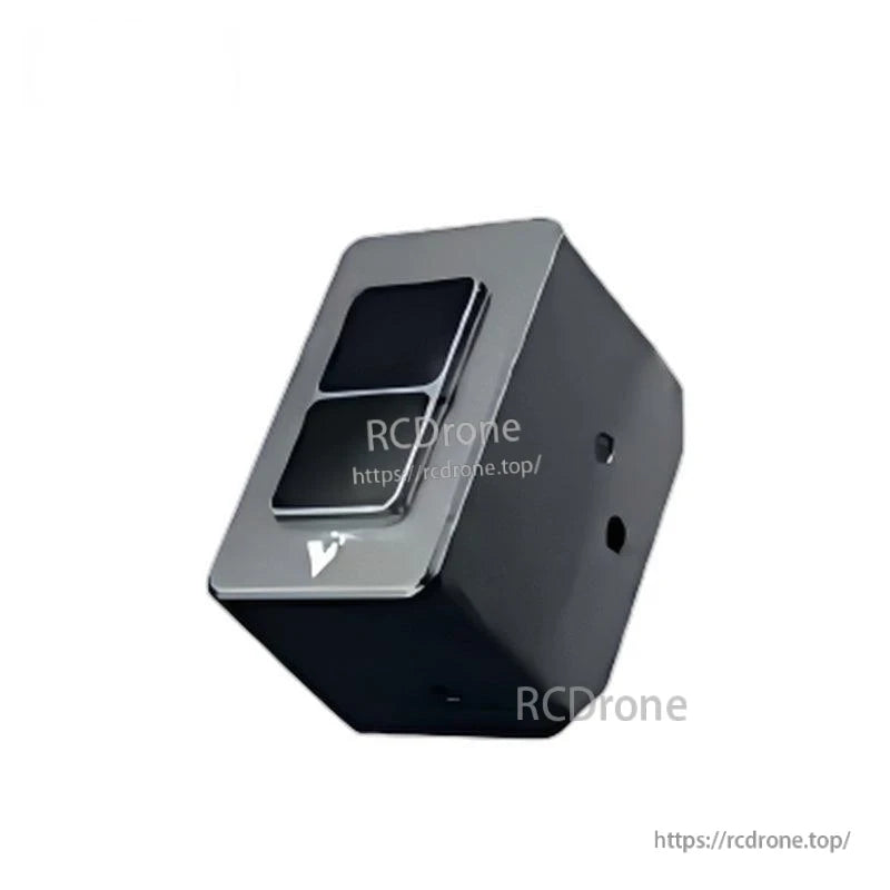
Le Yunshis XT-M60 est un capteur Flash LiDAR conçu pour des scénarios d'application à faible vitesse, fournissant des sorties telles que nuage de points, carte de profondeur et image en niveaux de gris pour des tâches de perception en robotique et automatisation.
Caractéristiques clés
- LiDAR à état solide 60 lignes (état solide pur)
- Large champ de vision (FOV) : 120° × 45°
- Plage : 0,3–15 m (extérieur)
- Résolution angulaire : H 0,75° × V 0,75°
- Résolution : équivalent à 60 lignes, 9 600 pixels par image
- Taux de rafraîchissement : 1–30 fps
- Longueur d'onde du laser : 940 nm
- Précision : 1–2%
- Résistance à la lumière forte : 100 klux
- Interface étanche ; indice de protection IP65
- Sécurité oculaire : Classe 1
- Fonctionnement multi-appareils
- Interface : Ethernet / I/O
- Support SDK : C++ / Python / Linux / ROS1 & ROS2
Pour de l'aide à l'intégration ou des questions avant-vente, contactez [email protected] or visitez https://rcdrone.top/.
Spécifications
| Modèle | XT-M60 |
| Scénario d'application | Vitesse lente |
| FOV (Champ de vision) | 120° × 45° |
| Longueur d'onde du laser | 940 nm |
| Précision | 1–2% |
| Consommation d'énergie moyenne | 6 W |
| Taux de rafraîchissement | 1–30 fps |
| Résolution angulaire | 0.75° H × 0.75° V |
| Tension | 12–24 V (DC) @ 3 A |
| Température de fonctionnement | -40 à 85 °C |
| Poids | 123 g |
| Dimensions | 65 × 35 × 45 mm |
| Distance de mesure (50% de réflectivité) | 0.3–15 m (Extérieur) |
| Données de sortie | Nuage de points 3D, Image de profondeur, Carte de réflectivité, Image en niveaux de gris |
| Interface | Ethernet / I/O |
| Résolution | Équivalent à 60 lignes, 9 600 pixels par image |
| Support SDK | C++ / Python / Linux / ROS1 & ROS2 |
| Indice de protection | IP65 |
| Sécurité oculaire | Classe 1 |
| Résistance à la lumière forte | 100 klux |
Applications
- Robots humanoïdes
- Bras robotiques
- Exosquelettes
- Robots quadrupèdes
- Véhicules AGV
- Robots ARU
- Mesure de volume
- Évitement d'obstacles à faible et moyenne vitesse
- Inspection agricole / tests agricoles
- Internet des Objets
Système de Coordonnées (Mode Caméra par Défaut)
En mode caméra (par défaut), le câble de données radar (interface aérospatiale) est positionné en face de l'avant du radar.Dans cette configuration, Z pointe directement vers l'avant du radar, X pointe vers la gauche, et Y pointe vers le haut vers le ciel.
Manuels / Dessins
Détails
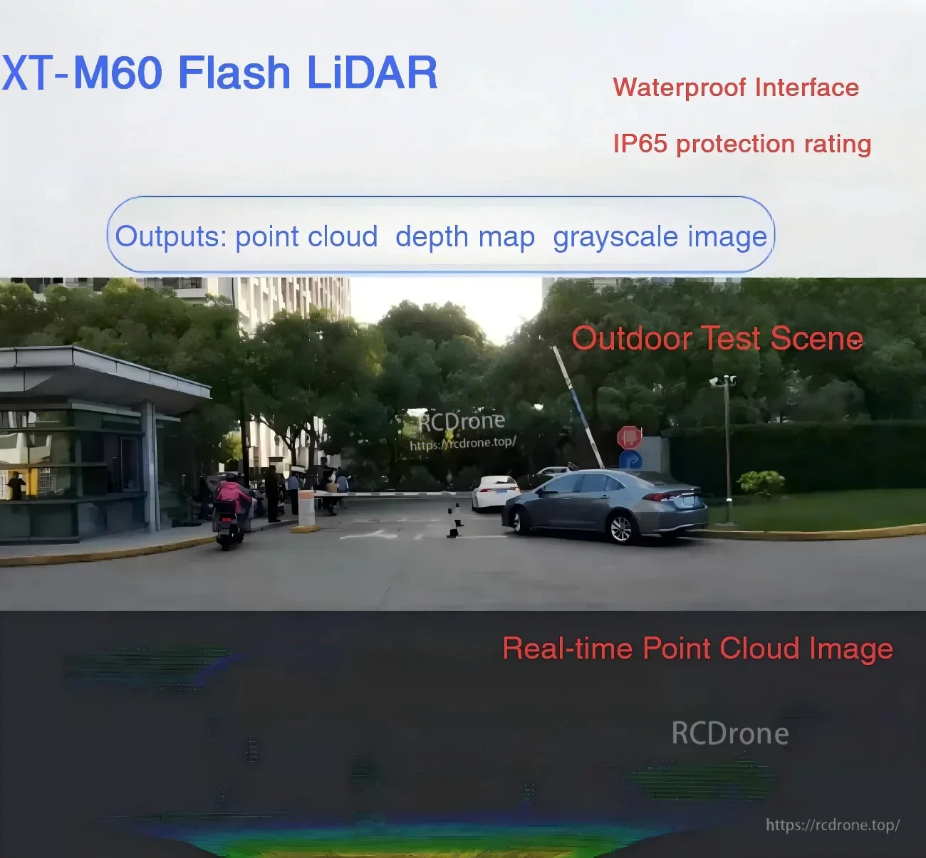
Les sorties incluent un nuage de points, une carte de profondeur et des images en niveaux de gris pour la perception dans la robotique à basse vitesse et l'automatisation.

Un design compact à 60 lignes entièrement à état solide avec un large FOV de 120° × 45°, connectivité Ethernet/I/O et support SDK pour les piles robotiques courantes.
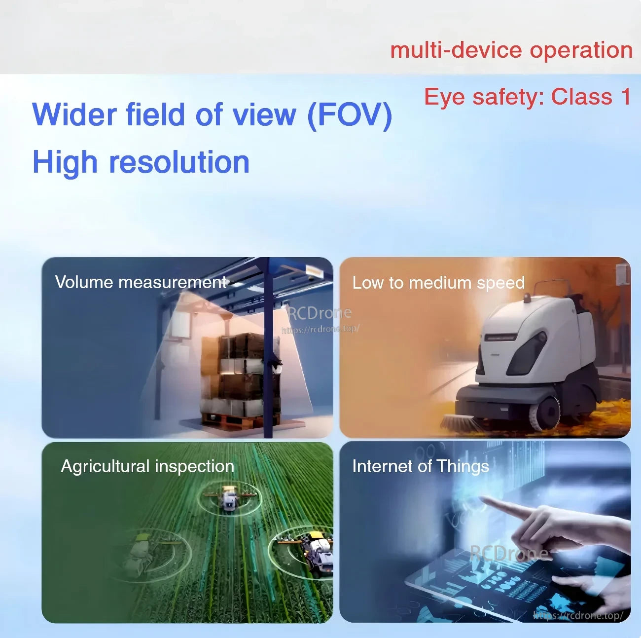
Conçu pour une opération multi-appareils et une sécurité oculaire de classe 1 à travers des cas d'utilisation tels que la mesure de volume, l'IoT et la navigation à basse à moyenne vitesse.

Orientation de l'axe en mode caméra : Z vers l'avant, X vers la gauche, et Y vers le haut, avec l'interface de données aérospatiales positionnée en face de l'avant.
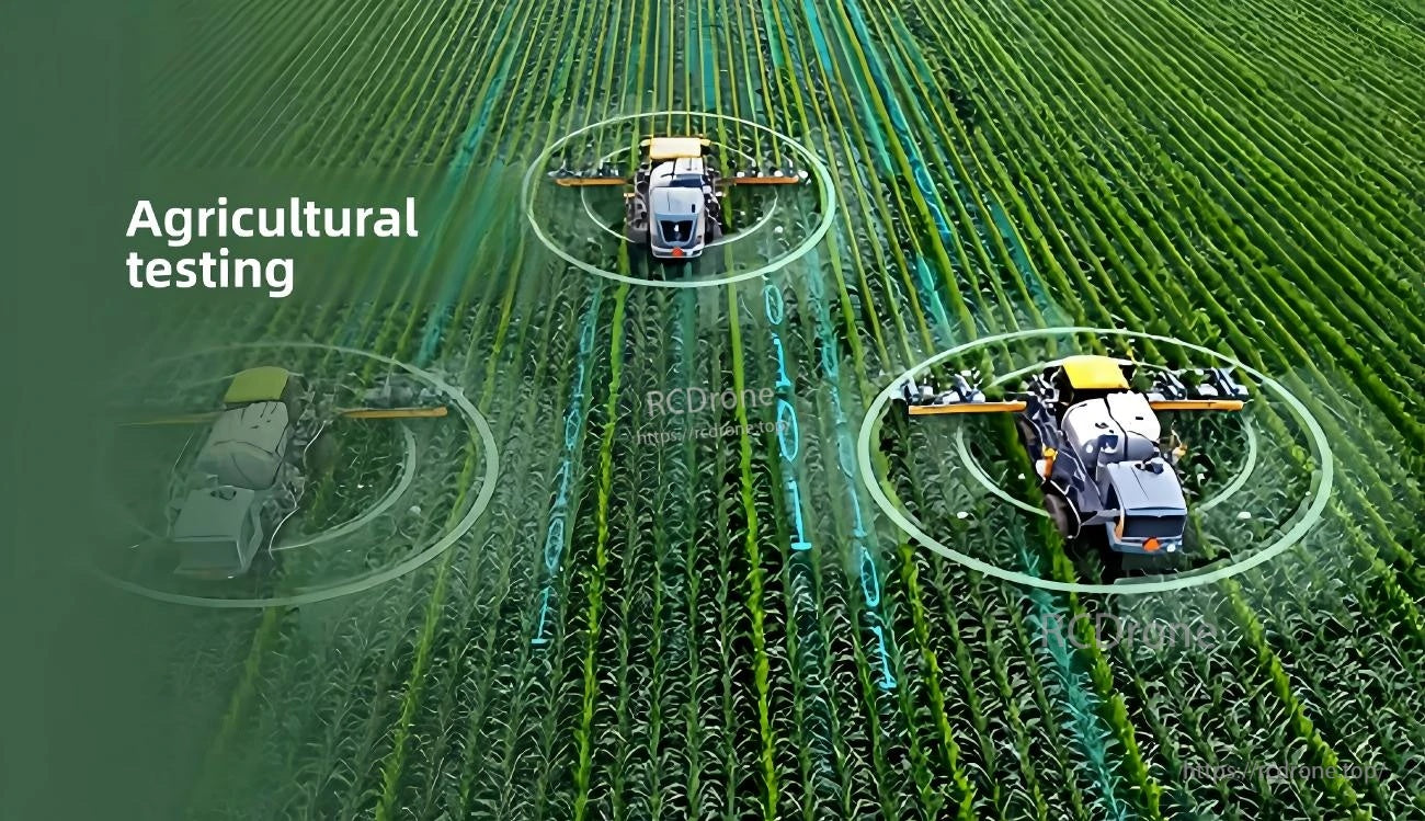
Convient pour l'inspection et le test agricoles où une perception fiable est nécessaire en extérieur dans un éclairage variable.
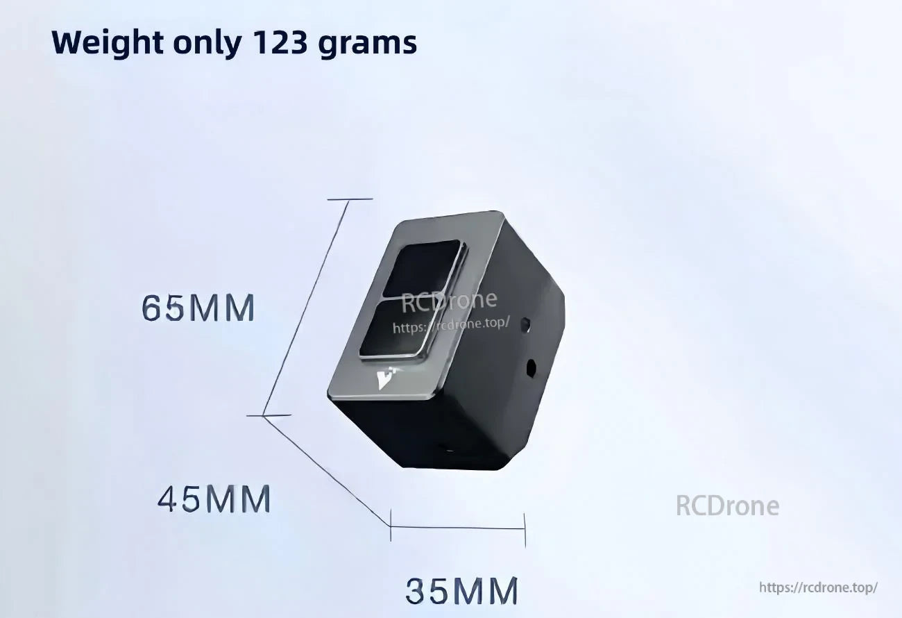
Petit format pour des espaces d'intégration étroits : 65 × 35 × 45 mm et 123 g.
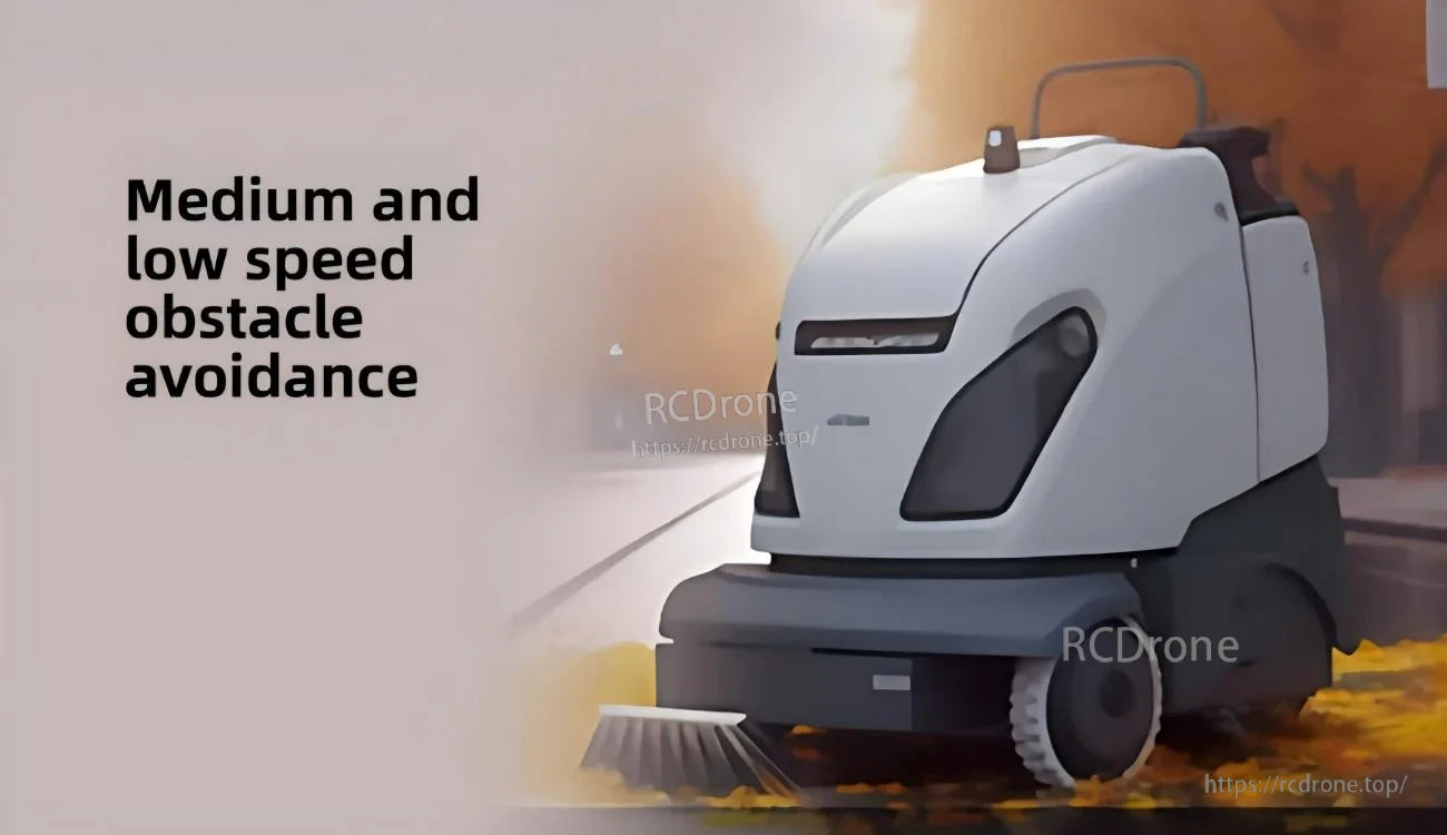
Conçu pour l'évitement d'obstacles à faible et moyenne vitesse sur des robots mobiles et des plateformes AGV.
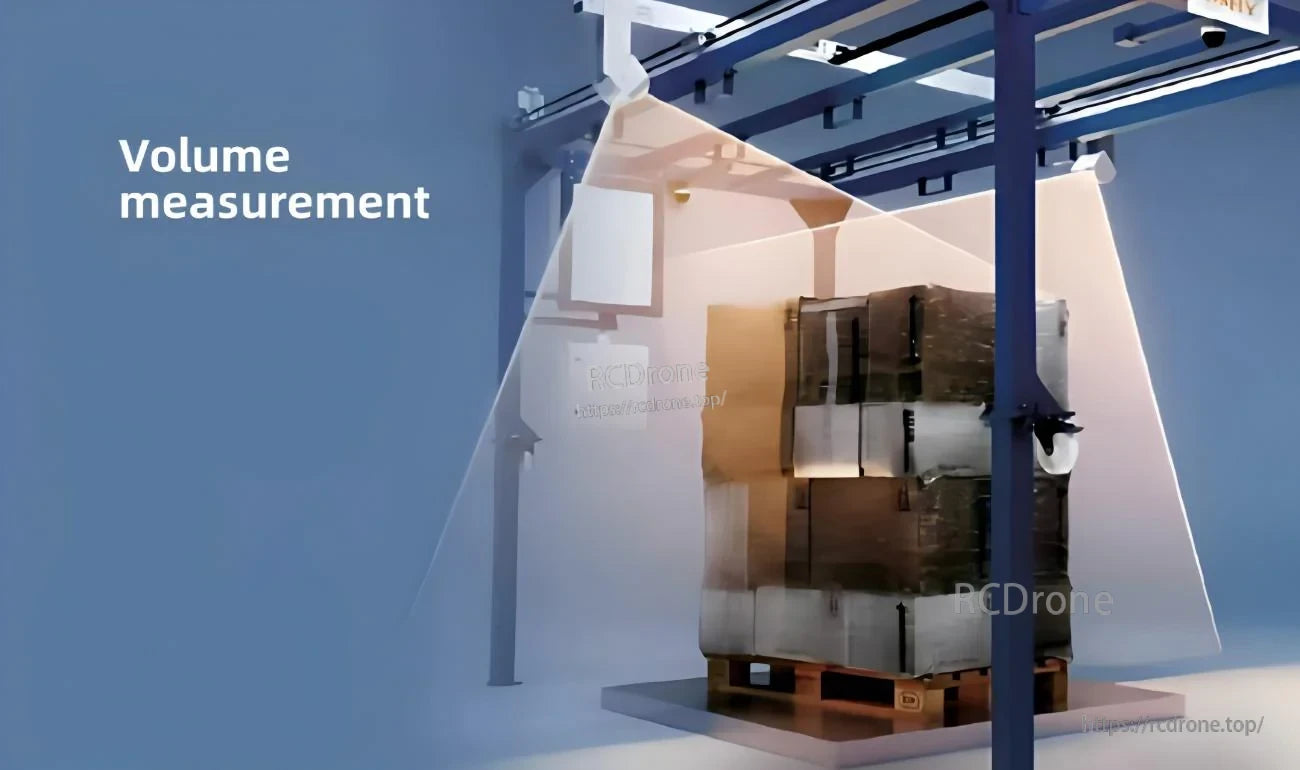
Les sorties de profondeur et de nuage de points prennent en charge la mesure de volume et les flux de travail d'automatisation des inventaires.
