


سنسور لیدار فلش Yunshis XT-M60، حالت جامد ۶۰ خط، برد ۰.۳ تا ۱۵ متر، زاویه دید ۱۲۰×۴۵ درجه، استاندارد IP65
سنسور لیدار فلش Yunshis XT-M60، حالت جامد ۶۰ خط، برد ۰.۳ تا ۱۵ متر، زاویه دید ۱۲۰×۴۵ درجه، استاندارد IP65
Yunshis
در دسترس بودن پیکاپ بارگیری نشد


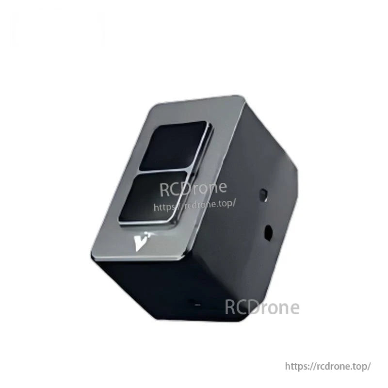
بررسی اجمالی
سنسور Flash LiDAR مدل Yunshis XT-M60 برای سناریوهای کاربردی با سرعت پایین طراحی شده است و خروجیهایی مانند ابر نقطهای، نقشه عمق و تصویر خاکستری برای وظایف درک رباتیک و اتوماسیون ارائه میدهد.
ویژگیهای کلیدی
- LiDAR حالت جامد 60 خطی (کاملاً حالت جامد)
- میدان دید وسیع (FOV): 120° × 45°
- برد: 0.3–15 متر (در فضای باز)
- دقت زاویهای: H 0.75° × V 0.75°
- وضوح: معادل 60 خط، 9,600 پیکسل در هر فریم
- نرخ فریم: 1–30 fps
- طول موج لیزر: 940 نانومتر
- دقت: 1–2%
- مقاومت در برابر نور قوی: 100 klux
- رابط ضد آب؛ درجه حفاظت IP65
- ایمنی چشم: کلاس 1
- عملکرد چند دستگاهی
- رابط: اترنت / ورودی/خروجی
- پشتیبانی از SDK: C++ / Python / Linux / ROS1 & ROS2
برای کمک به ادغام یا سوالات پیشفروش، با [email protected] or تماس بگیرید https://rcdrone.top/.
مشخصات
| مدل | XT-M60 |
| سناریو کاربردی | سرعت پایین |
| زاویه دید (Field of View) | 120° × 45° |
| طول موج لیزر | 940 نانومتر |
| دقت | 1–2% |
| مصرف توان متوسط | 6 وات |
| نرخ فریم | 1–30 فریم در ثانیه |
| رزولوشن زاویهای | 0.75° H × 0.75° V |
| ولتاژ | 12–24 ولت (DC) @ 3 آمپر |
| دمای عملیاتی | -40 تا 85 درجه سانتیگراد |
| وزن | 123 گرم |
| ابعاد | 65 × 35 × 45 میلیمتر |
| فاصله اندازهگیری (بازتابندگی 50%) | 0.3–15 متر (فضای باز) |
| خروجی داده | ابر نقطه سهبعدی، تصویر عمق، نقشه بازتابندگی، تصویر خاکستری |
| رابط | اترنت / ورودی/خروجی |
| وضوح | معادل 60 خط، 9,600 پیکسل در هر فریم |
| پشتیبانی از SDK | C++ / Python / Linux / ROS1 & ROS2 |
| رتبهبندی حفاظت | IP65 |
| ایمنی چشم | کلاس 1 |
| مقاومت در برابر نور قوی | 100 کلاکس |
کاربردها
- رباتهای انساننما
- بازوهای رباتیک
- اسکلتهای خارجی
- رباتهای چهارپا
- وسایل نقلیه AGV
- رباتهای ARU
- اندازهگیری حجم
- اجتناب از موانع با سرعت پایین تا متوسط
- بازرسی کشاورزی / آزمایش کشاورزی
- اینترنت اشیاء
سیستم مختصات (حالت دوربین پیشفرض)
در حالت دوربین (پیشفرض)، کابل داده رادار (رابط فضایی) در مقابل جلوی رادار قرار دارد.در این پیکربندی، Z به طور مستقیم به سمت جلوی رادار اشاره میکند، X به سمت چپ اشاره دارد و Y به سمت بالا به سمت آسمان اشاره میکند.
راهنماها / نقشهها
جزئیات
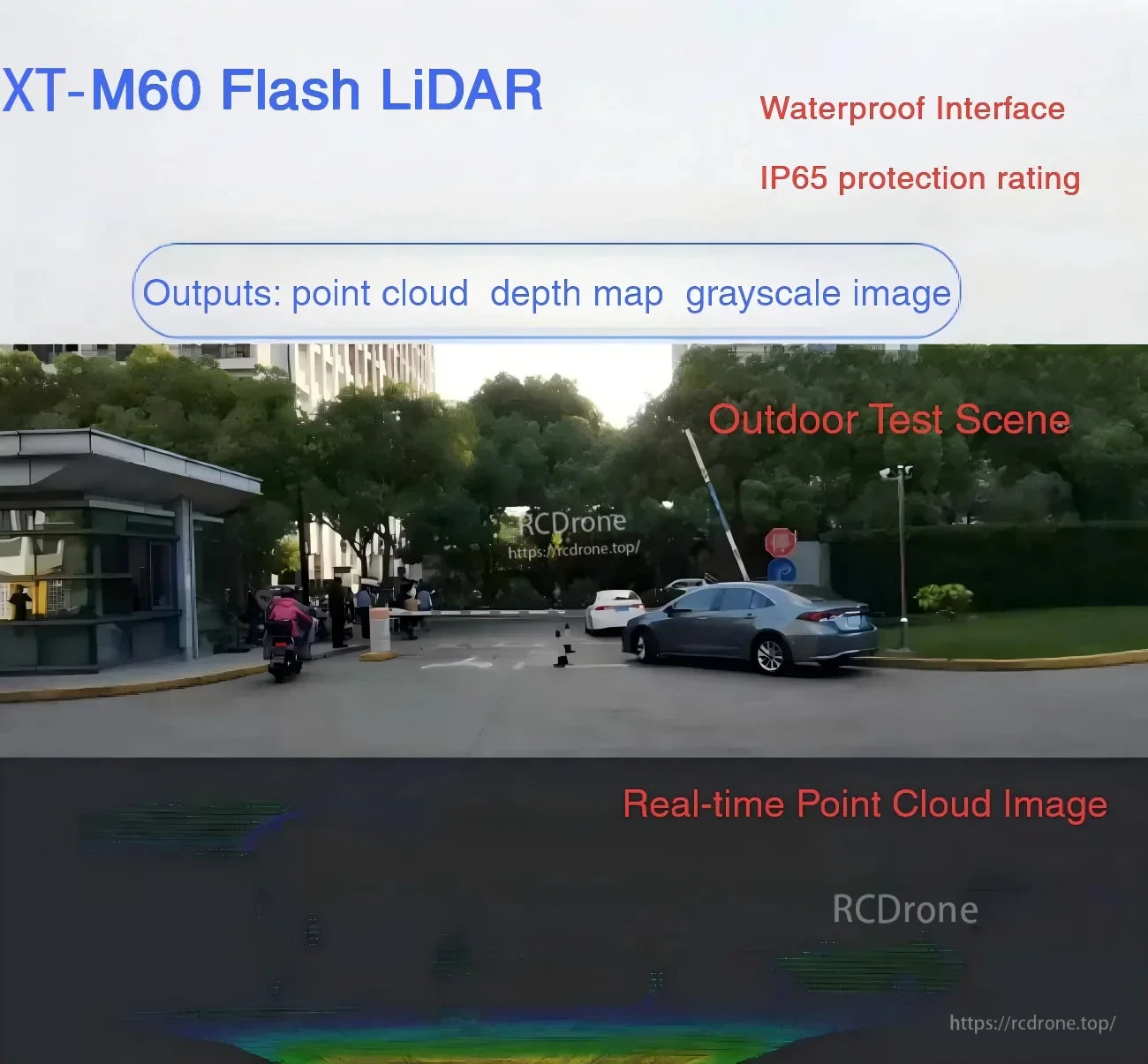
خروجیها شامل ابر نقطهای، نقشه عمق و تصاویر خاکستری برای درک در رباتیک و اتوماسیون با سرعت پایین است.

یک طراحی فشرده 60 خطی با حالت جامد خالص با میدان دید وسیع 120° × 45°، اتصال Ethernet/I/O و پشتیبانی SDK برای استکهای رباتیک رایج.
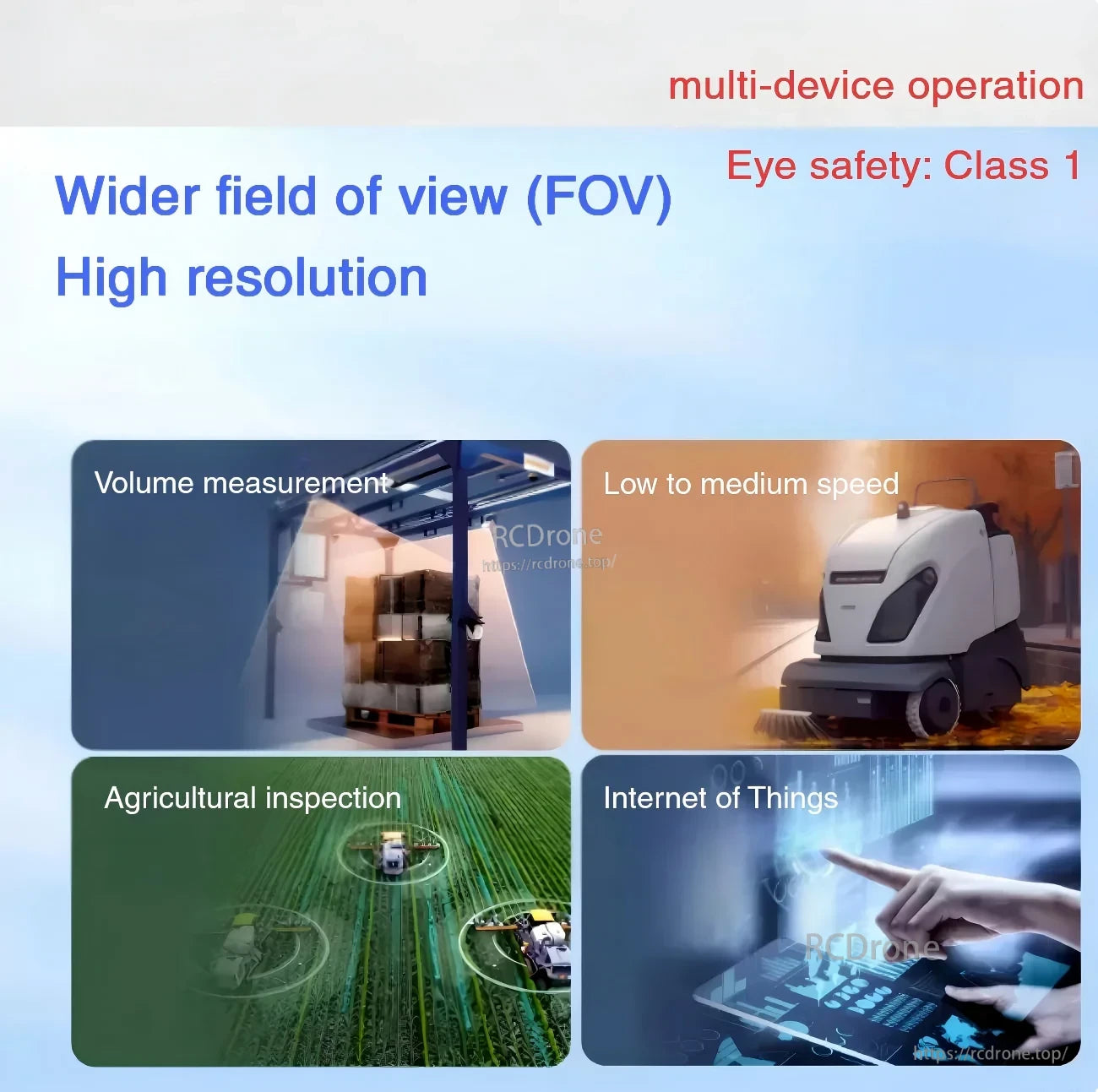
ساخته شده برای عملکرد چند دستگاهی و ایمنی چشم کلاس 1 در موارد استفاده مانند اندازهگیری حجم، IoT و ناوبری با سرعت پایین تا متوسط.

جهتگیری محور حالت دوربین: Z به جلو، X به سمت چپ و Y به سمت بالا، با رابط دادههای هوافضا در سمت مقابل جلو قرار دارد.
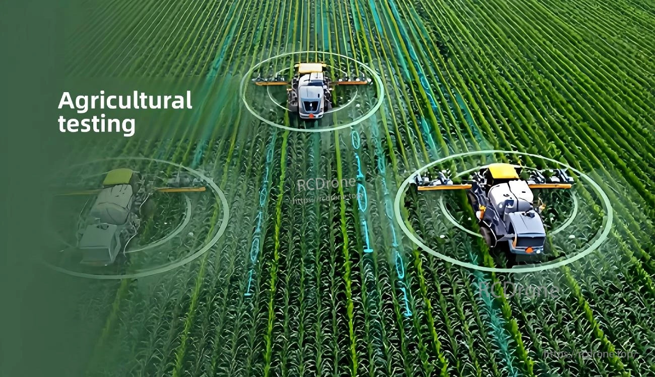
مناسب برای بازرسی و آزمایشات کشاورزی که در آن ادراک قابل اعتماد در فضای باز با نور متغیر نیاز است.
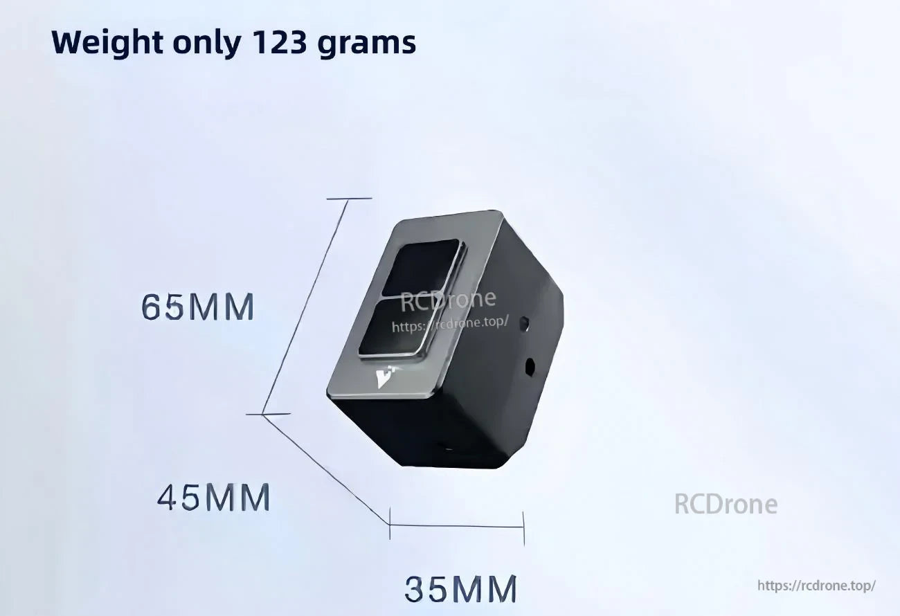
ابعاد کوچک برای فضاهای ادغام فشرده: 65 × 35 × 45 میلیمتر و 123 گرم.
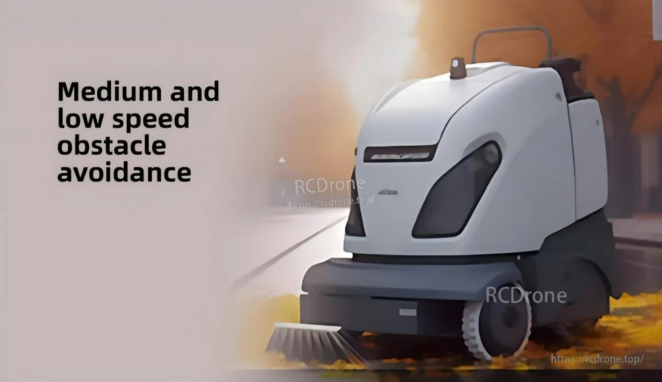
طراحی شده برای اجتناب از موانع با سرعت پایین تا متوسط در رباتهای متحرک و پلتفرمهای AGV.
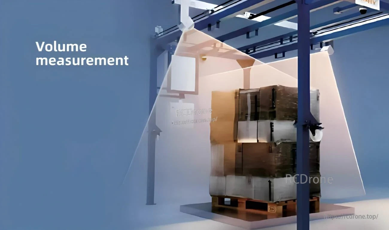
خروجیهای عمق و نقطهابر از اندازهگیری حجم و اتوماسیون موجودی پشتیبانی میکنند.
